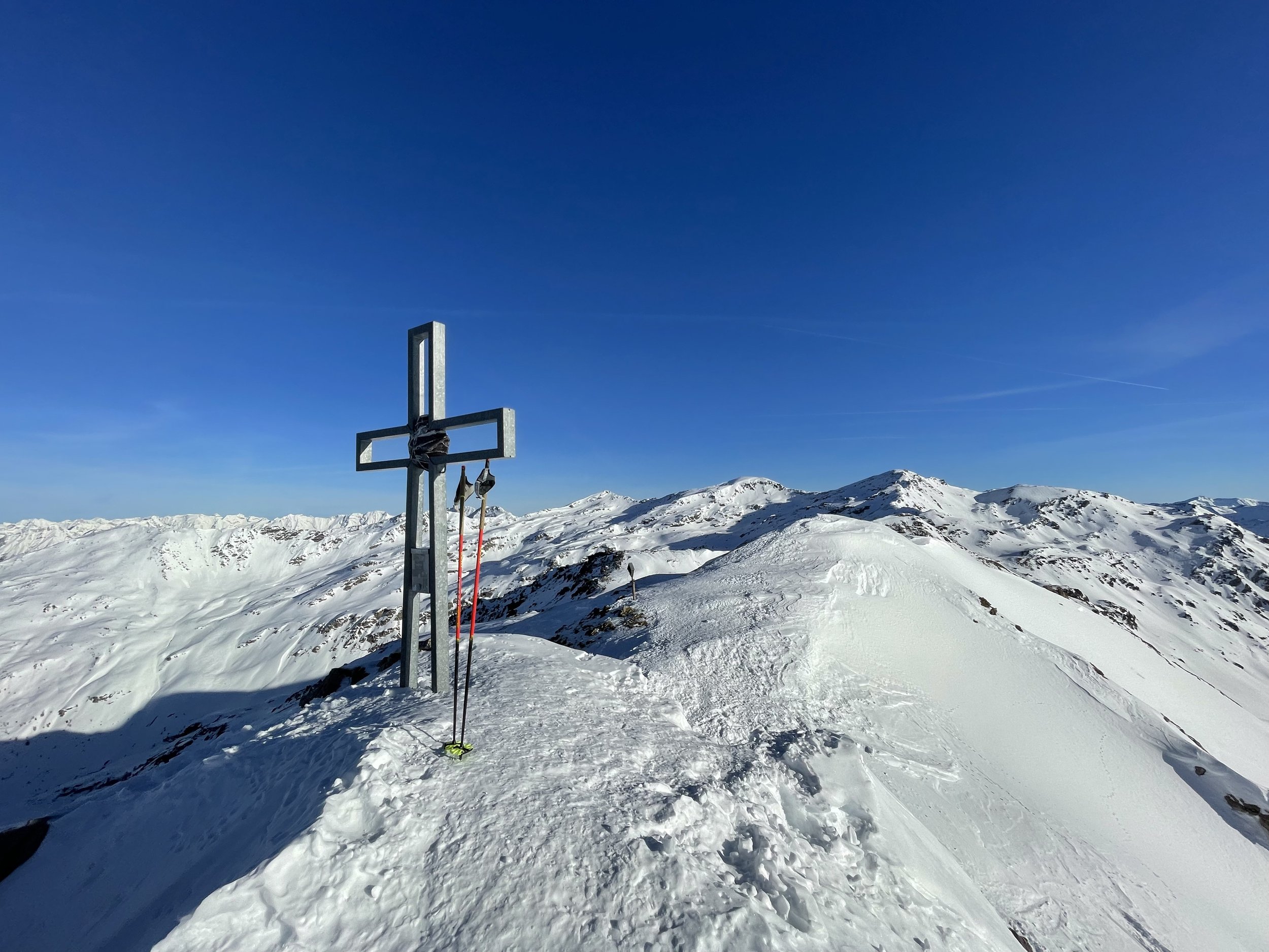
Pfoner Kreuzjöchl (2640 m) from Oberellbögen
Technical difficulty: 3/10
Fitness: 4/10
Objective danger: 3/10
Landscape: 5/10
Busy: 4/10
An easy and relatively safe tour to Pfoner Kreuzjöchl close to the Brenner Highway is a good option for beginners or for early morning.
Starting point: Parkplatz Hinterlarcher in Oberellbögen
Ending point: Parkplatz Hinterlarcher in Oberellbögen
Ascend: 1300vm / 3h
Exposition: North/ North-west
The Pfoner Kreuzjöchl is located in the Tux Alps in the Arztal touring area. It offers splendid terrain for both ascent and descent, near the Arztaler Alm. Pay attention to the right track choice during the ascent - there are short steep slopes to circumvent repeatedly. The summit is also often climbed from the south side via the Wetterkreuz from Navis. Magnificent views into the Navistal touring area with its numerous touring possibilities.
Route:
From the parking lot to the Hof Hinterlarcher, follow the forest road until a sharp left turn. Here, continue mostly straight ahead (though you can also follow the forest road for an easier route), past a chapel, following the summer path until you meet the forest road again at a left turn. Leave this road immediately and ascend over a meadow to the Rosenjochhütte, briefly through a narrow strip of forest, then diagonally across a meadow until reaching a stream bed.
Cross a bridge to the other side of the valley and proceed eastward through a wide forest clearing, passing the Arztal Hut (Eisenbahnerhütte), ascending to the ridge above the now visible Arztalalm.
Follow this ridge in a southeast direction until reaching a flat area at an elevation of about 2100 m. Continue right towards the south over moderately steep slopes, then briefly flatter again, onto the ridge that leads from the Speikböden to the Kreuzjöchl (Note: Do not head straight for the summit on the flat grounds (2100 m), but bypass the steep slopes in a wide right-left loop. The steep north slopes straight after the flat section are quite prone to slab avalanches!).
Continue on the ridge eastward, and finally steeply over the usually wind-blown summit slope of the Pfoner Kreuzjöchl to the highest point with a summit cross.
Descend:
Same as the ascent - from the flat grounds, one can also keep to the left (northwest) and ski down through sparse forest directly to the Arztal Hut.
Photos by @the.running.nomad


