

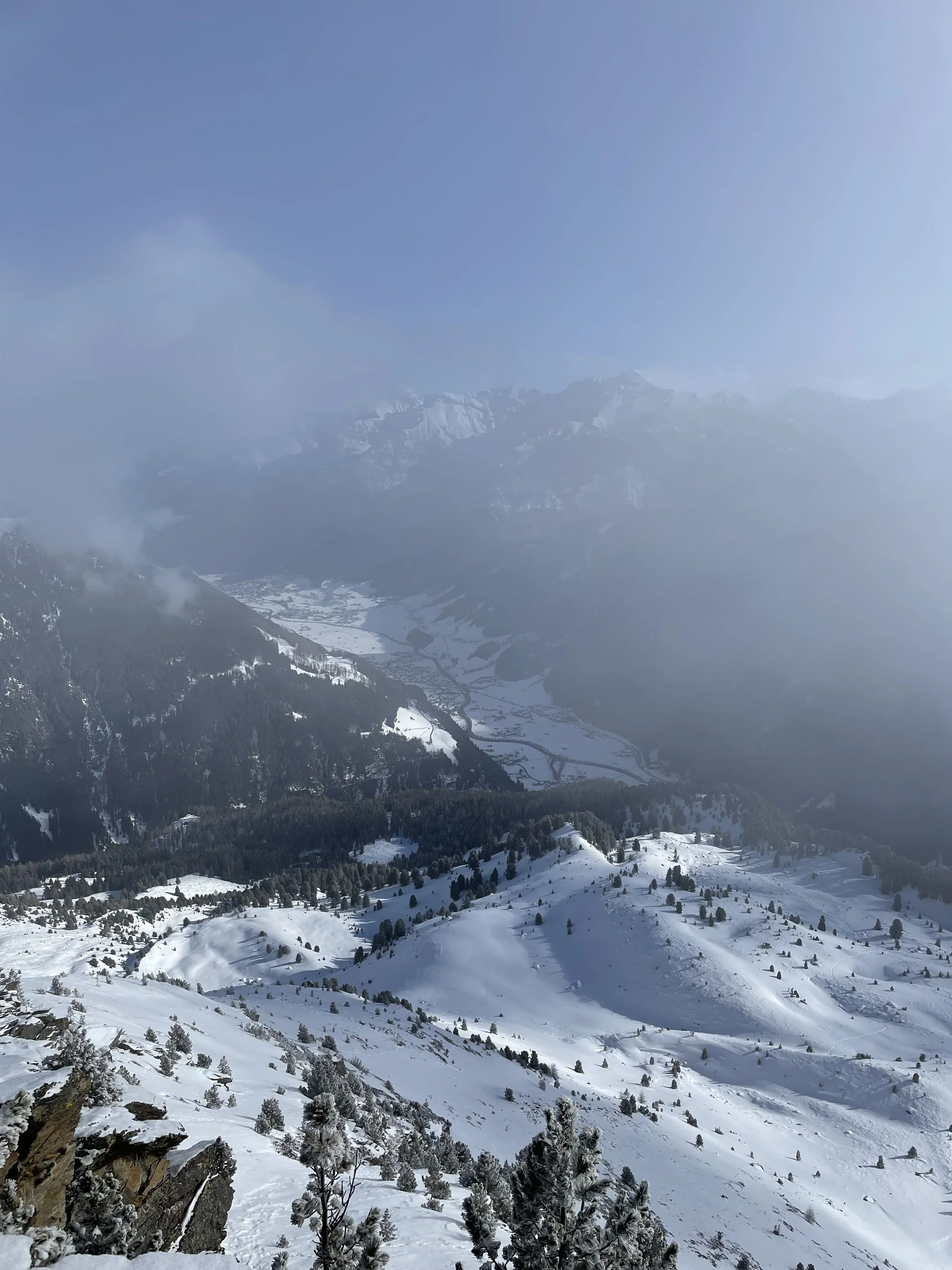
Seblaskreuz (2353m) from Oberbergtal


Technical difficulty: 2/10
Fitness: 2/10
Objective danger: 2/10
Landscape: 5/10
Busy: 8/10
A tour from the “Josef” parking lot to Brandstattalm and Seblaskreuz. Good for quick day out or when conditions are not so safe.
Starting point: Parking lot “Josef”
Ending point: Parking lot “Josef”
Ascend: 1000vm / 3h
Exposition: North/ East
Route:
From the parking lot “Josef” (1356m), the easiest way is to follow the well-prepared toboggan track through seven switchbacks up to the rustic Brandstattalm (1810m).
Alternatively, at a right-hand bend at around 1550m, you can continue straight ahead and follow the road until reaching the final ravine before Auffangalm (1620m; closed in winter). From there, climb right up the ravine via a broad forest clearing, passing a hay hut and continuing southwest through the narrowing but clearly visible clearing. Eventually, you’ll reach a flat area southeast, slightly below the Brandstattalm (not visible from here), near a forest road. From this point, head westward up to a small hut (around 1550m), where you’ll join the main ascent track leading up from the Brandstattalm (if available). This route is about 1.1 kilometers shorter than the path via the Brandstattalm but also steeper.
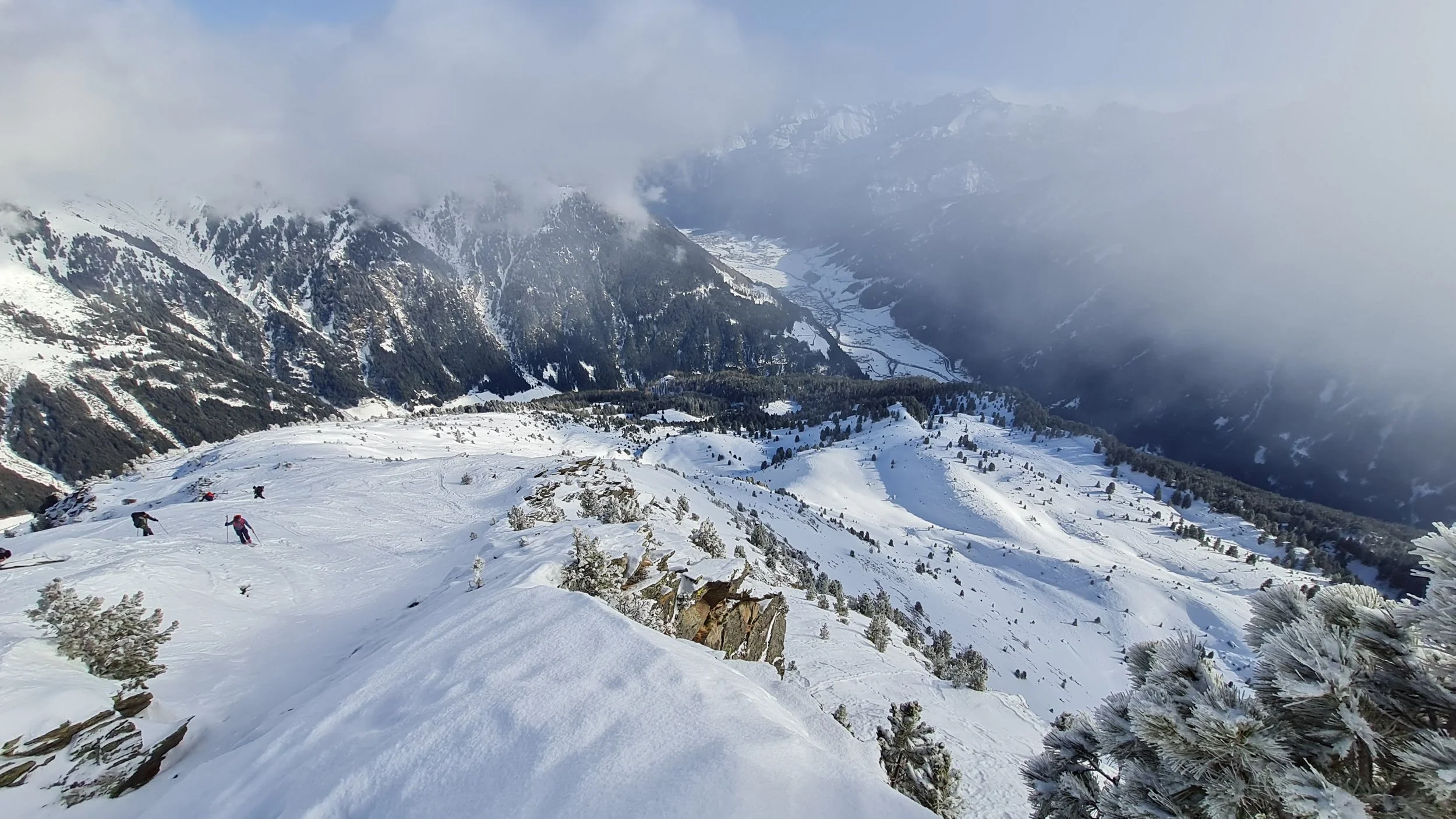
From the Brandstattalm, ascend through clearings, initially heading south to a small wooden hut on a ridge (approx. 1885m). Follow the ridge diagonally upward for a short distance, then continue through a series of switchbacks across well-terraced terrain dotted with trees. Ascend westward to the broad southwestern ridge that leads to the summit cross. Follow this ridge with a gentle incline toward the summit, finally turning southward over short rocky steps to the summit crest. The last few meters are typically climbed on foot to reach the Seblaskreuz (2353m) with its simple wooden cross.
Descent
If conditions are not safe, it’s best to descend along the described ascent route. However, in calm powder snow and low avalanche risk, you can descend almost directly from the summit across beautiful northeast-facing slopes into the wide basin below, then continue along the ascent track to return.
Photos by @the.running.nomad and @bennibru.