The Malgrübler to Largoz ridge
Technical difficulty: 7/10 (some route finding necessary, never harder than 2 UIAA)
Fitness: 5/10
Objective danger: 6/10
Landscape: 6/10
Busy: 1/10
A route exploring some ridges above the town of Wattens. Through the valley up and back along some unmarked ridge between the summits of Malgrübler and Largoz. Nice combination of technical scrambling and fast trails. Almost guaranteed to be alone.
Starting point: Volderwildbad Parking
Ending point: Volderwildbad Parking
Length: 25km
Vertical: 1900m
Speed: forest road up the valley and down from Largoz. The ridge is kind of sketchy in places and a slow going.
Route:
Warning: Involves moving in technical unmarked terrain. Know your abilities and plan accordingly!
Warning #2: The ridge follows along the edge of the Wattener Lizum Military training grounds. Do not go here on live ammunition training days. You can find them at this link (german only).
In this post, we're going to explore some technical ridges above the town of Wattens.
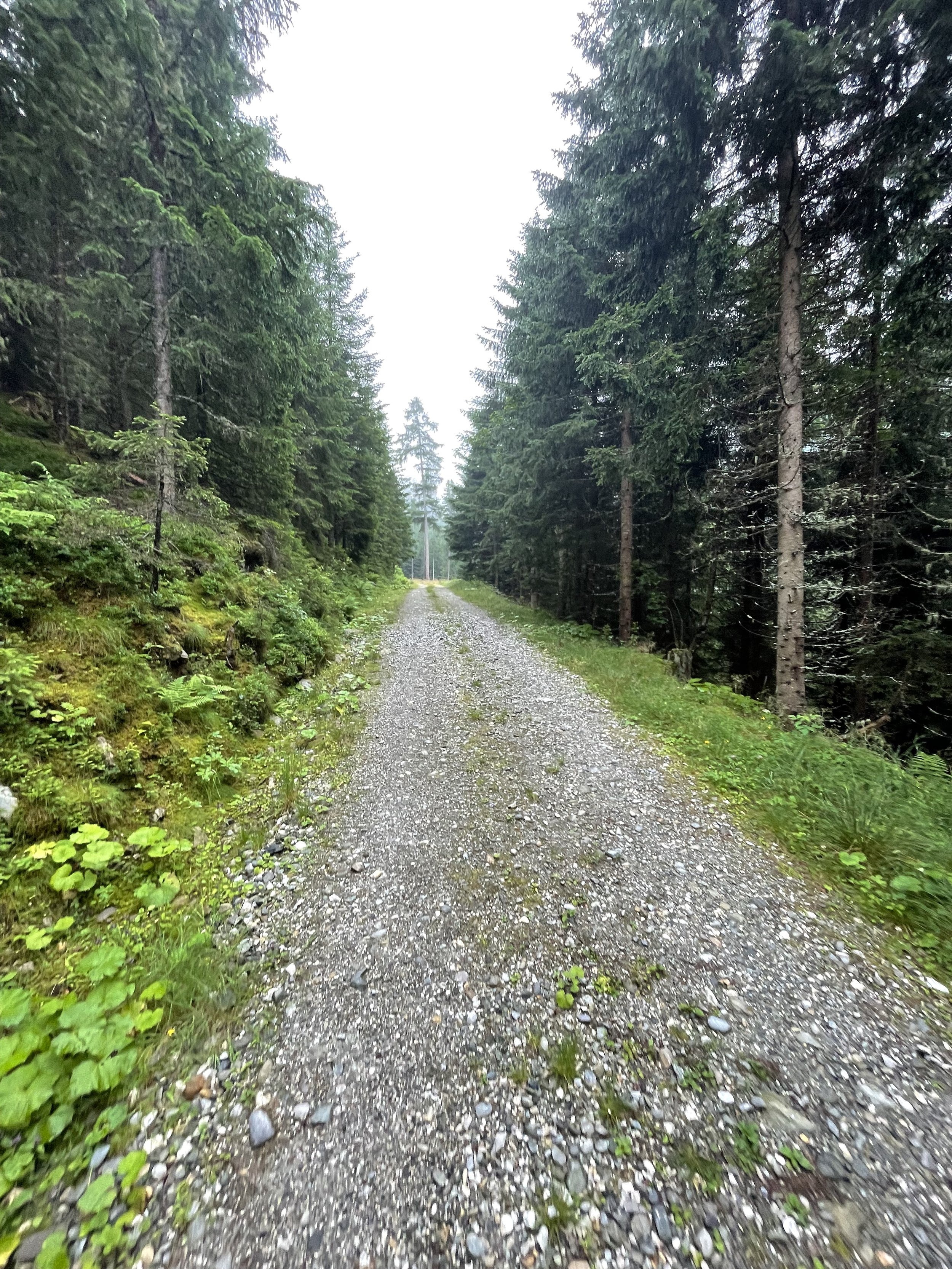
Our journey starts and ends at the small settlement of Volderwildbad, where you'll find a large hiking parking lot. From there, we head up the valley on a forest road, following the stream until we reach the Voldertalhütte. Here, I took a slight detour by mistake. If you're using the GPS track attached, be sure not to make the same error!
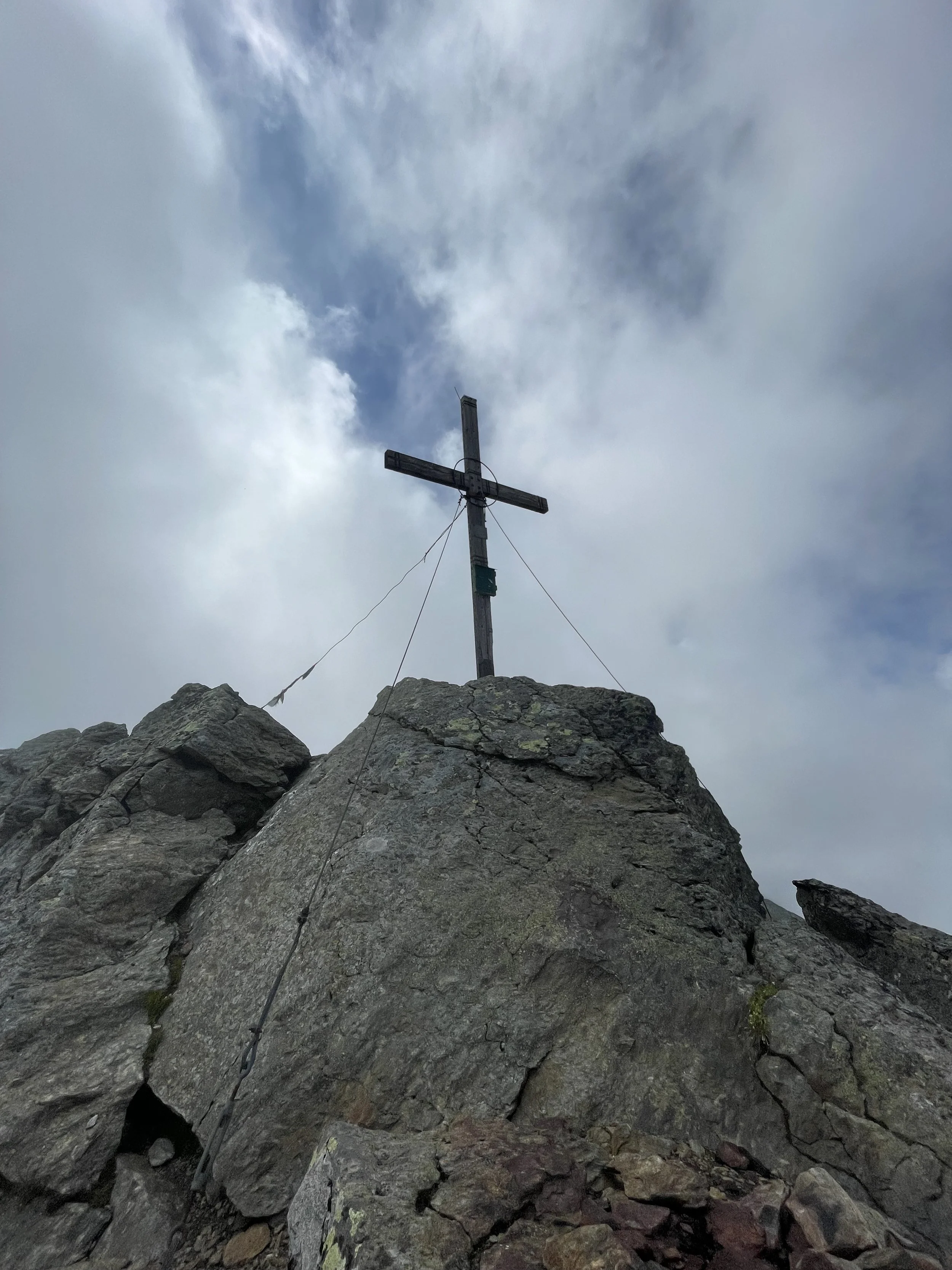
Beyond the Voldertalhütte, the forest road begins to zig-zag up the east side of the valley and eventually transitions into a steep trail leading straight up to the Markiss Alm. The path then continues its ascent to the southeast, remaining faint yet reasonably well-marked, until you reach the summit of Malgrüber (2749m).
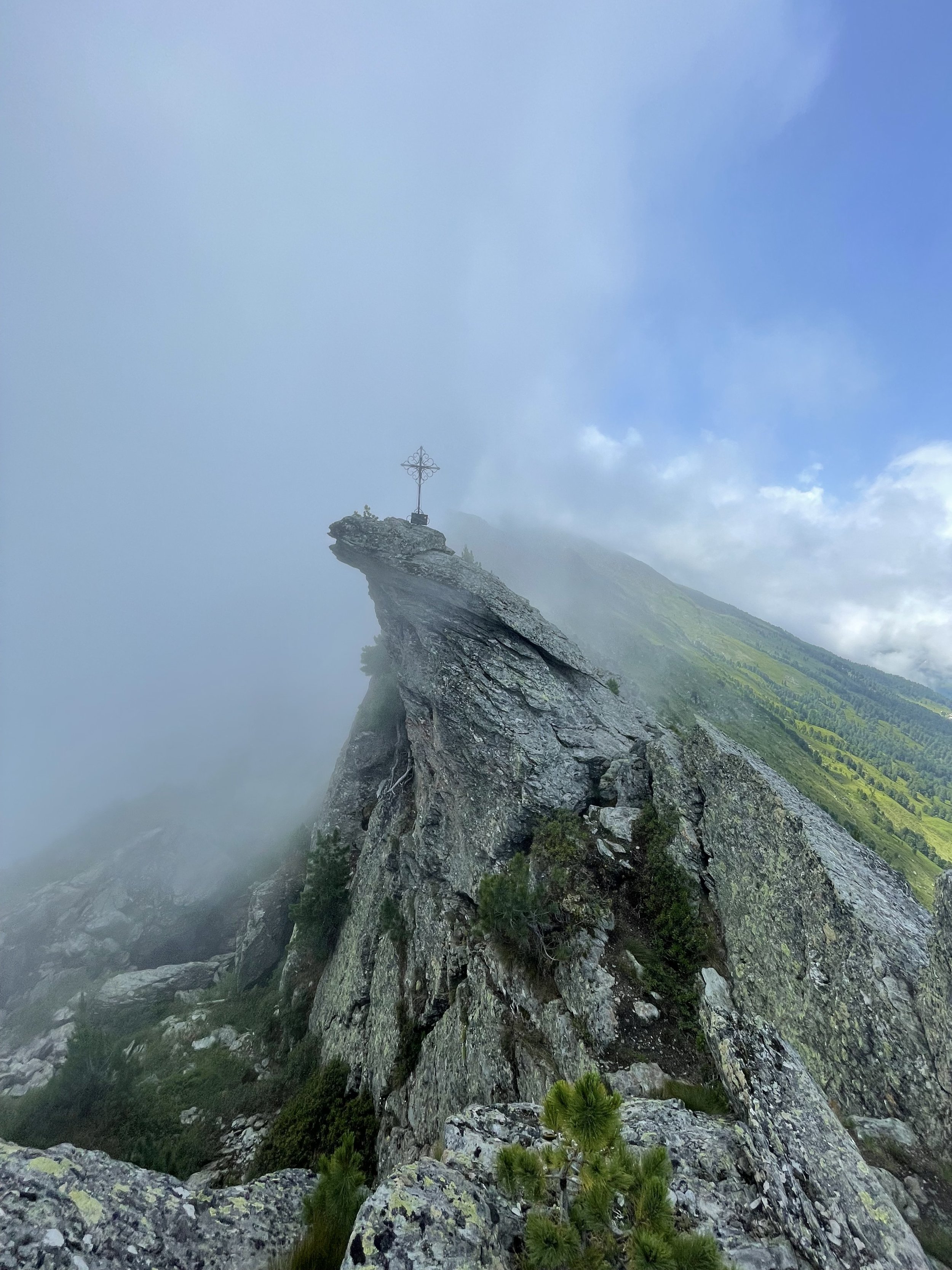
At this point, we leave the marked trail and venture north along the ridge. In clear weather, the direction is apparent, but some route finding is necessary. Following the GPS track, you'll find that the terrain is never more challenging than a 2-grade UIAA. You'll traverse over the summit of Haneburger (2596m) and eventually reach the Haneburger Gipfelkreuz (2580m) summit from the south side, with the crux section located in the last 100m before the peak.
Here, you'll reconnect with the marked trail, and the terrain will become much less technical. Continuing northwards, you'll cross the summits of Roßkopf (2382m) and Wattenspitze (2321m) on your way to the Largoz (2214m) summit. Upon reaching Largoz, you might want to take a breather and refuel at the Largozalm before commencing your descent.
Finally, you'll start your journey back to the parking lot. This part of the route is a long, fast run down a forest road – a perfect opportunity to stretch your legs and pick up some speed before returning to your car.
Pro tip: there is a lot of water in the valley and none up on the ridge. Fill up while you can!
Photos by @the.running.nomad


