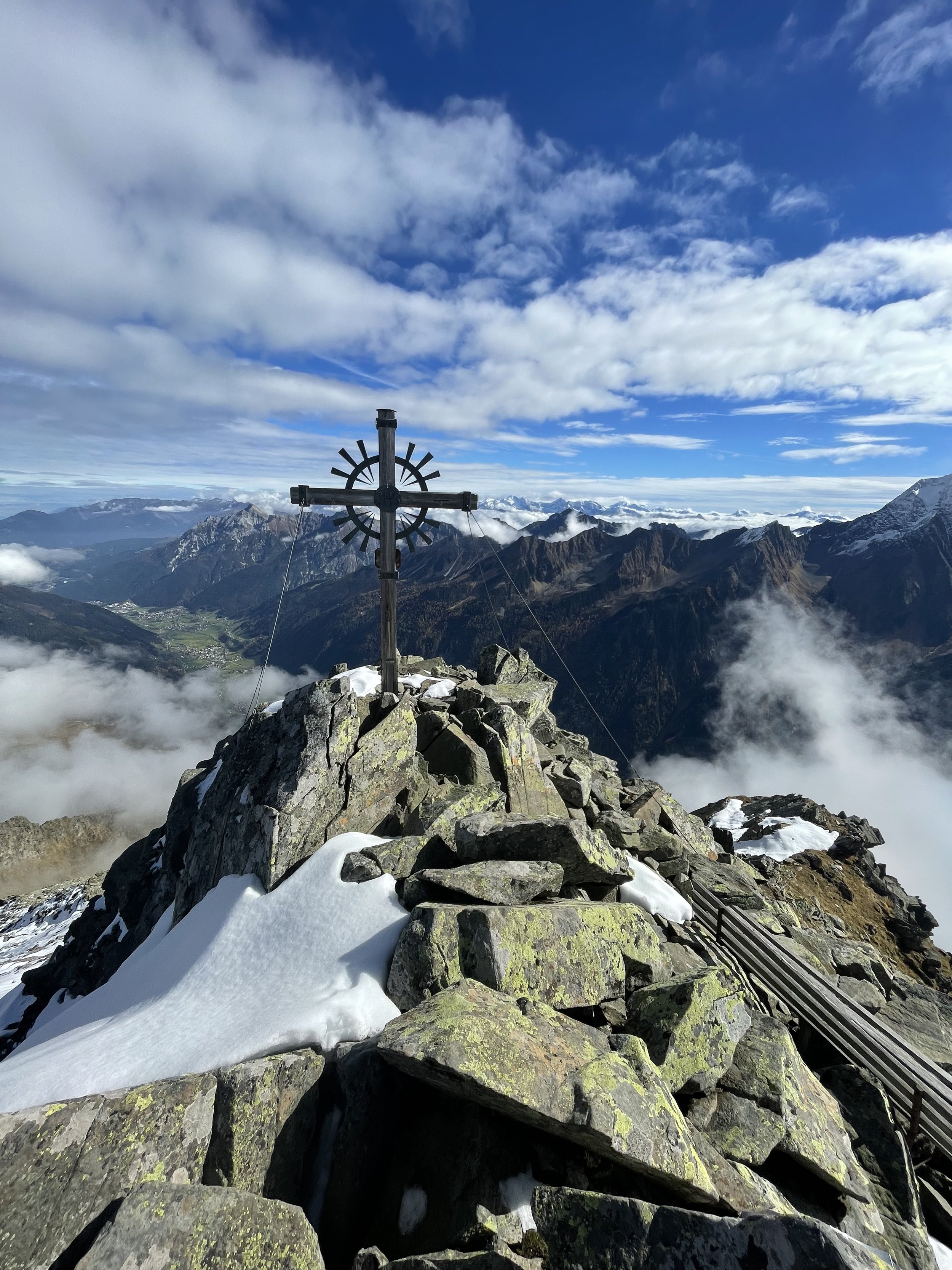
The Seblaskreuz to Brennerspitze Ridge
Technical difficulty: 7/10
Fitness: 5/10
Objective danger: 5/10
Landscape: 7/10
Busy: 1/10
An nice loop in Stubai Valley, connecting the summits of Seblaskreuz and Brennerspitze through an unmarked ridge.
Starting point: Parkplatz in Oberbergtal
Ending point: Parkplatz in Oberbergtal
Length: 17km
Vertical: 1600m
Speed: the ridge and the descent from Brennerspitze is a bit technical, otherwise nice runnable trails.
We are moving this week so apologies for digging up an older route for y’all. Also wanted to dig up one to pay homage to the Stubai Valley. Hopefully back to original programming soon.
Route:
If you're heading up the Oberbergtal towards Seduck, you'll find a small parking lot where our journey begins. It's important to note that there's no cell phone reception in this valley, so make sure you've got all the info you need before you set off.
The initial part of the route takes you up towards the Brandstatt-Alm. To get there, you've got two options: you can take the more relaxed route along the forest road, or you can opt for a shorter but steeper trail. Once you've made it to the alm, you'll need to follow the clearly marked trail to the summit of Seblaskreuz (2353m). This trail takes you above the tree line, giving you some spectacular views over the entirety of the Stubai Valley.
Once you reach Seblaskreuz, you'll find a signpost pointing you towards Brennerspitze (2877m). From this point, the trail marking is less clear, but unless there's heavy snow, you should still be able to follow the trail without too much trouble. It leads you to the Brennerspitze summit from the back side.
The descent from Brennerspitze heads back down the marked trail towards Hühnerspiel. This part of the route has some fixed chains at the start and there's a fair amount of loose rock, so be careful. After reaching Hühnerspiel, you'll join another trail which takes you back traversing north along the mountain, through Madlasböden, and eventually back to Brandstatt-Alm. From here, it's just a matter of retracing your steps back to the parking lot.
Photos by @the.running.nomad


