Zirler Schützensteig Loop
Technical difficulty: 7/10
Fitness: 5/10
Objective danger: 7/10 (the Schützensteig itself is exposed and technical in places)
Landscape: 7/10
Busy: 4/10 (the Ehnbachklamm in the beginning is 10/10)
A great round with variety of views and terrain through Ehnbachklamm, Neue Magdeburger Hütte, Zirler Schützensteig, Solsteinhaus and back down.
Starting point: Public Parking next to Red Cross in Zirl
Ending point: Public Parking next to Red Cross in Zirl
Length: 18km
Vertical: 1400m
Speed: Uphill and downhill quite fast and runnable. The traverse between the two huts is technical.
Route:
We start at the parking lot by the Red Cross building in Zirl. Start off few hundred meters along the street to the entrance of Ehnbachklamm. Start running up this narrow gorge by the stream all the way until the dam wall at the end. The gorge gets really busy during nice summer days, so mentally prepare for that. After the wall, continue following the valley upstream (following the signs to Brunntal) until you reach and cross the railway (the train from Innsbruck to Seefeld).
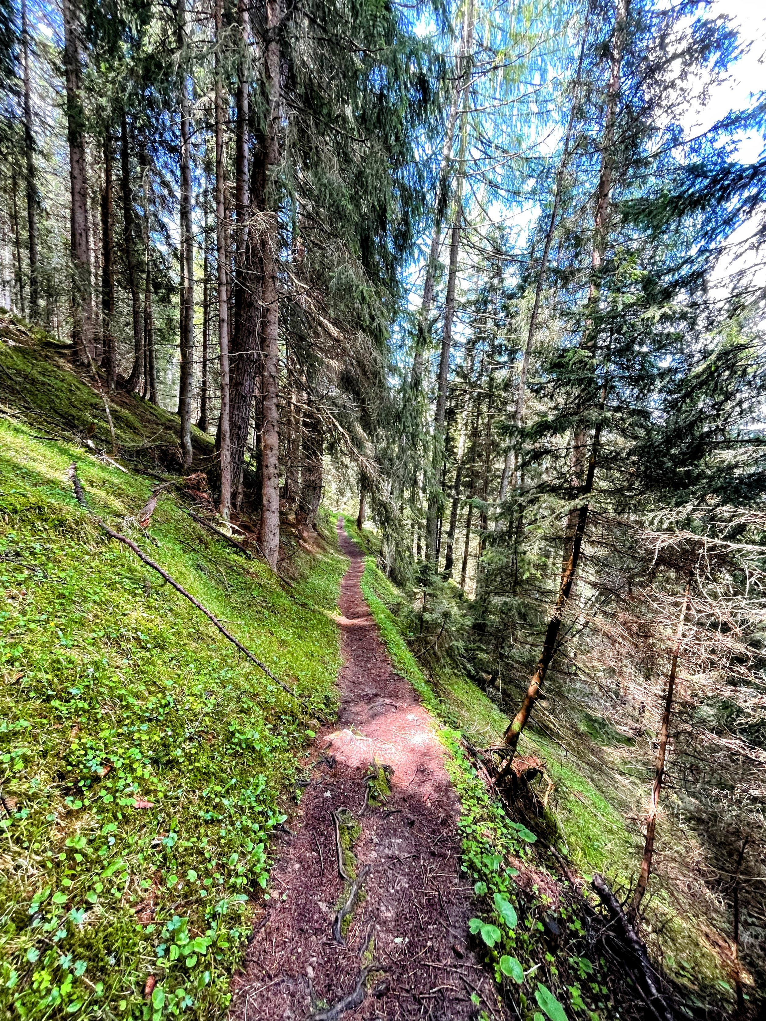
From here the trail starts climbing away from the stream on the right-hand side and eventually connects to a forest road leading to Hörbstenböden. Once you reach this small cluster of huts, start following the trail marked “Neue Magdeburger Hütte” steeply uphill. You will climb through a lush forest passing countless holiday huts on the way, eventually connecting to a broader trail called Pletzensteig. The trail eventually flattens out and start traversing the hillside north/north-east towards the Neue Magdeburger Hütte. This is the first possibility for some refreshment along the way.
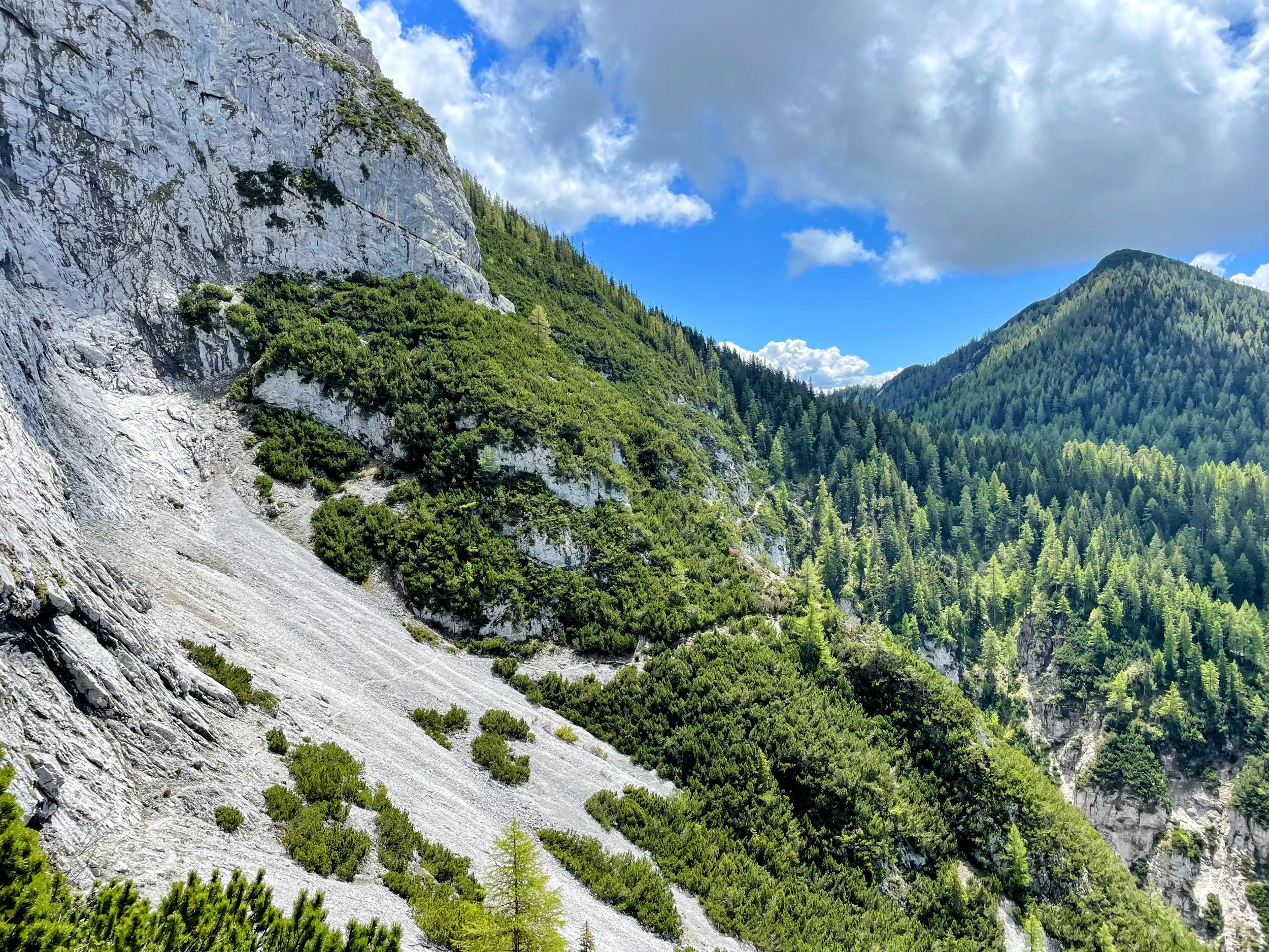
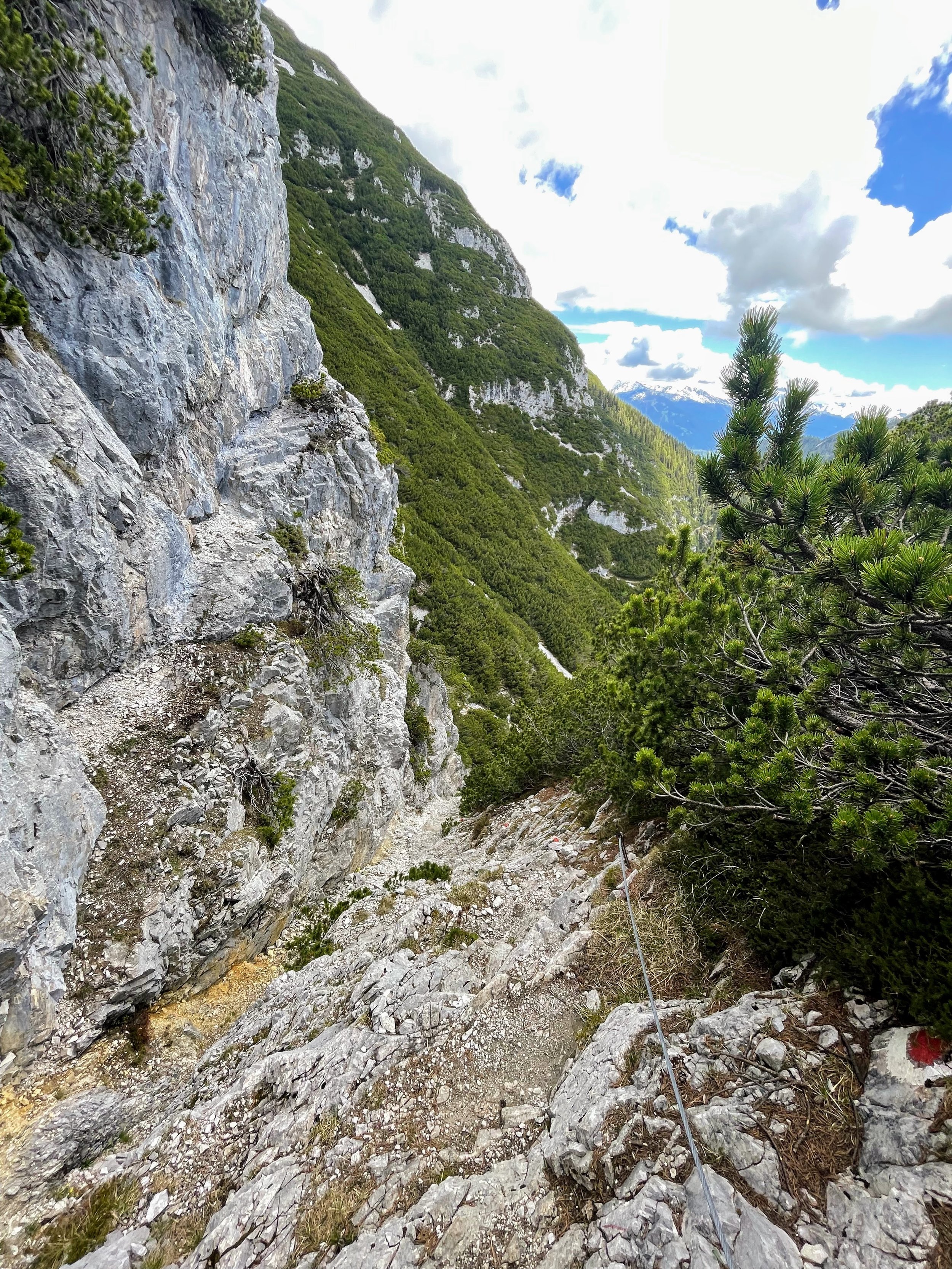
Here the interesting part of the loop starts. A few hundred meters after the hut, follow the signs to Zirler Schützensteig, a technical trail traversing the south-eastern side of Großer Solstein (2541m). The trail is technical and exposed in places, often secured with fixed chains in critical sections. A really great adventure, ending with a short climb through a rocky chimney. After the chimney, the trail starts slowly descending along the hillside north, until it reaches Solsteinhaus. This is a second great place to have a drink and something to eat.
It is all downhill from here! First a really flowy single trail leads us south on the right side of the valley towards Soln (a small private cabin with amazing views and a water source). After this the trail goes steeply down in zig-zags for a few hundred meters, before crossing a stream and connecting to a forest road. From here you will be able to stretch your legs a bit and get a nice pace going on the wide and gently downhill sloping forest road.
The forest road will split a couple of times, keep going southe-west and pick the more downhill option as a general rule (or just check the GPS track :) ). The forest road gets gradually steeper until it becomes very steep to the point that you will be happy once it eventually turns into a trail again. Eventually, you will briefly cross the main road leading up to Hochzirl and do shortcuts between its hairpin turns through the trails.
The last nice thing to see along the way is the old church at the top of Kalvarienberg, which sits on top of a small hill about Zirl and offers amazing views over Inntal. From here it is only few hundred meters of running back to where you started.
Pro tip: bring some cash for the huts!
Photos by @the.running.nomad and @annikasuess


