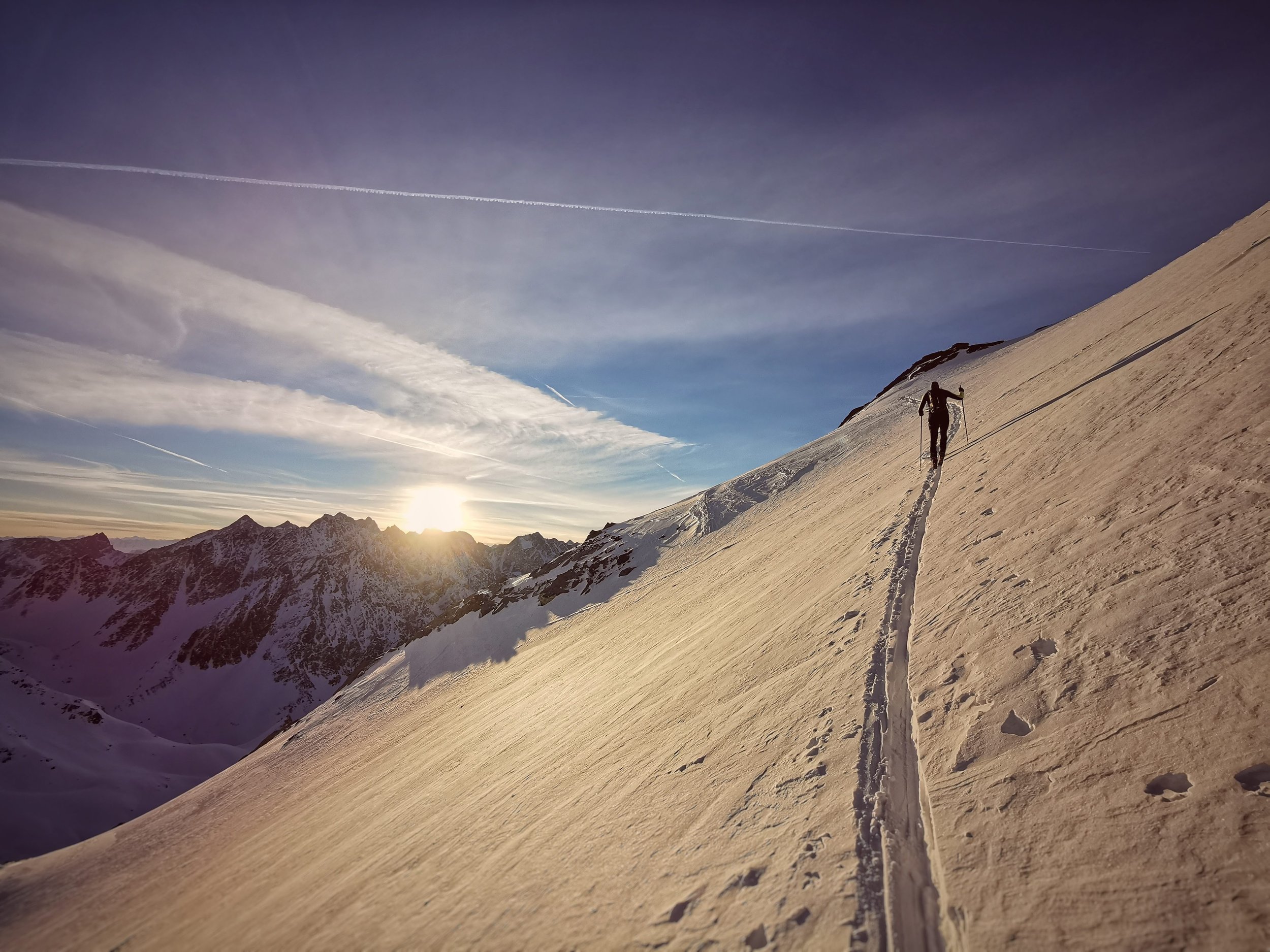
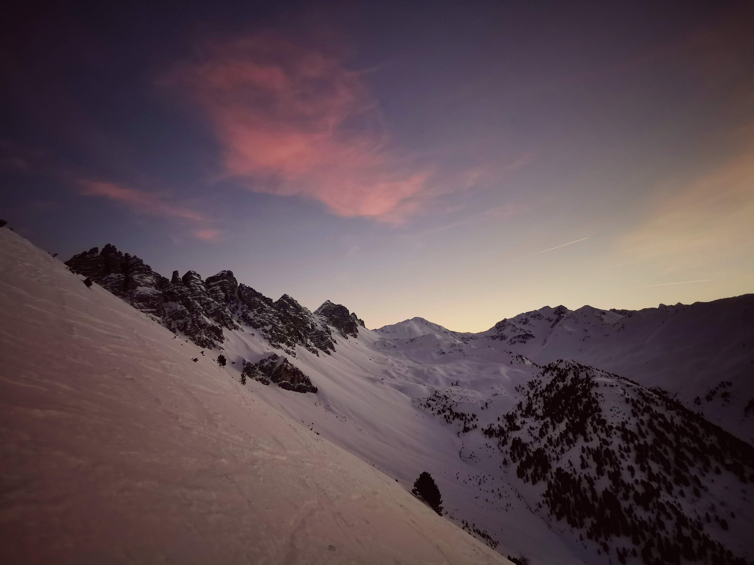
Fotscher Express
Technical difficulty: 5/10
Fitness: 9/10
Objective danger: 3/10
Landscape: 8/10
Busy: 5/10
Fotscher Express is a classic long day on skis in Kalkkögel, connecting some of the best summits and valleys.
Starting point: Praxmar
Ending point: Muterrer Alm Parkplatz
Ascend: 3000+m / 3500-m
Distance: 30km
Exposition: Mostly North/North Easy, but bit of everything along the way.
Route:
The start of this route is at Praxmar and the end is either at the valley station in Götzens or Mutters. In between are four ascents in a fantastic mountain landscape, and at the end, you dive into the hustle and bustle of the Axamer Lizum ski area, only to stand again with significantly fewer people at the summit of Saile (Nockspitze). At the latest there, when you enjoy the perfect view of the main ridge of Eastern Alps, you will know what you have been doing for the last 8 hours. A great, long and, in poor conditions, quite demanding ski crossing in the Kalkkögel mountains.
Detail:
Roter Kogel (2832m): From the Praxmar parking lot, go up through sparse forest to the Gallwiesalm. Keep left there to the Aflinger Alm, after the Alm you reach a large cirque to the east. In this cirque, go first through the middle, then right out of the cirque onto a flat plateau. Continue to ascend until you come to a signpost. Turn right to the summit. Descent down the wide cirque to the northeast, at about 2300 m you turn right at a terrain edge and descend the steep slopes in the area of the Potsdammer Hütte to the forest road. Continue skiing down the road and at 1700 m the forest road to the Furggesalm branches off to the right.
Schaflegerkogel (2405m): Ascend on the forest road to the Furggesalm. Shortly above the Alm turn south. Crossing slopes (poles as tour marking) you reach a ridge, and continue east to a flat terrain step below the summit slope. From there north up until you reach the ridge at 2340 m, follow this roughly south to the summit. Descent to the East down, always keeping slightly to the left to the stream and on the other side of the stream on the forest road to the Kemater Alm.
Hoadl (2340m): Behind the Kemater Alm pass the chapel to the edge of the forest, where the avalanche chute pulls down to the valley floor, and start ascending. Always uphill on the increasingly steep slope (right of the summer path) until you reach the ski slope at the top of the Hoadl saddle. Continue left to the Hoadl summit with the cable car station. Descent on the ski slope to the valley cable car station.
Saile (Nockspitze) (2404m): Below the Birgitzköpfl ski lift, ascend up to the Birgitzköpflhaus, then in the so-called Mayr colouir up to the ridge and onwards up to the final summit (you can also ascend from the Birgitzköpflhaus to the right between the avalanche barriers to the ridge). Descent is the same as the ascent through the Mayr colouir, at the Birgitzköpflhaus to the right down the cirque a bit, then on the forest road to the ski slopes. There either straight down to Götzens or right to Mutters.


