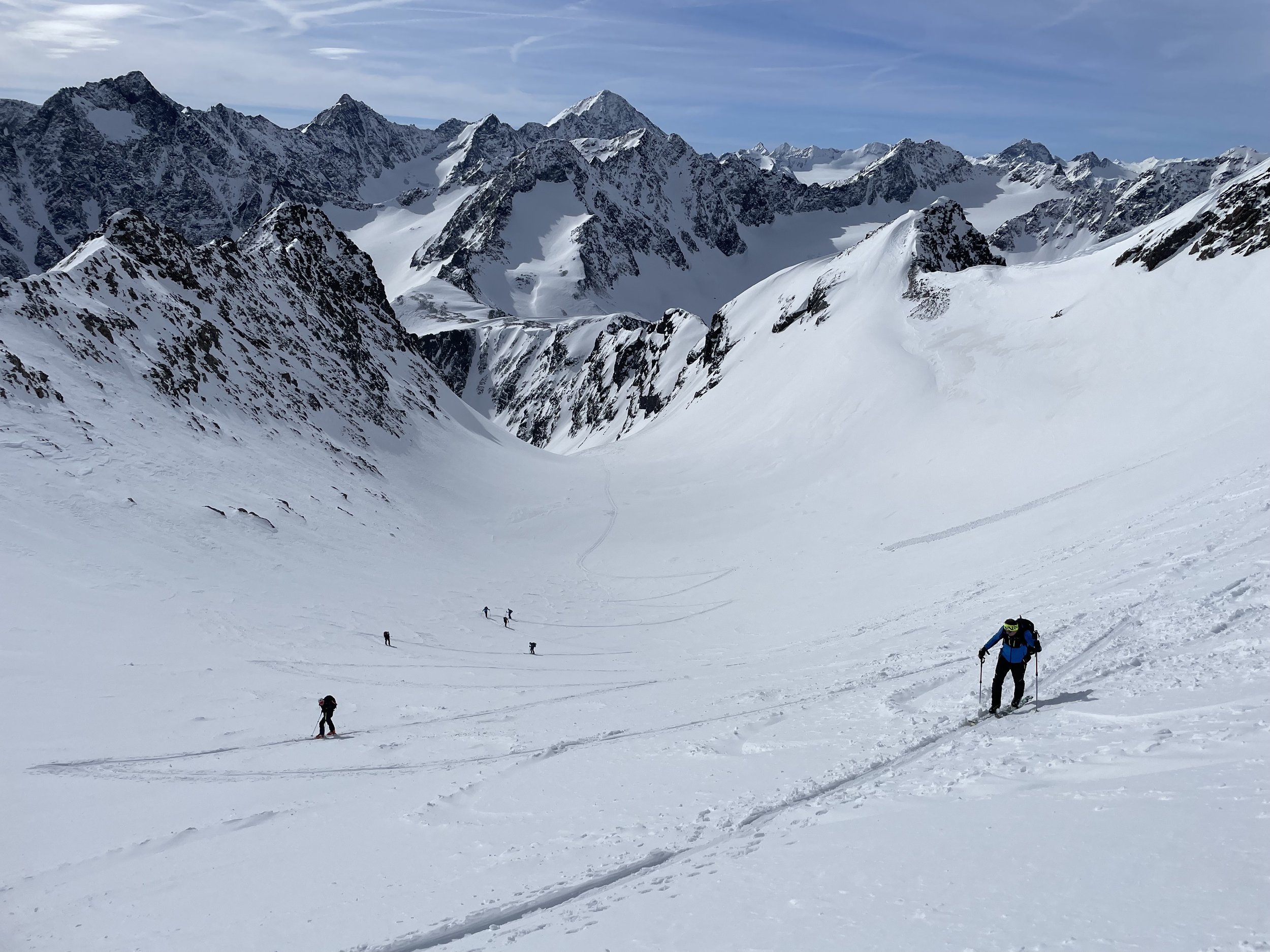
Hoher Seeblaskogel (3235 m) from Lüsens
Technical difficulty: 5/10
Fitness: 8/10
Objective danger: 6/10
Landscape: 9/10
Busy: 5/10
A popular tour in the Westfalenhaus skimo area, with excellent skiing and beautiful panoramic views.
Starting point: Parking at Gasthof Lüsens
Ending point: Parking at Gasthof Lüsens
Ascend: 1600vm / 5h
Exposition: South-East/ East
The Hoher Seeblaskogel is located in the Stubai Alps in the touring area of the Westfalenhaus. It's a fantastic summit destination with the finest skiing terrain beginning from the Längental. The key section is the extremely steep east-northeast slope, which must be conquered with many hairpin turns. From the summit, there is a magnificent panoramic view, offering an exceptionally good perspective of the touring area around the Winnebachseehütte.
Route:
From Lüsens, head south with the Lüsenser Fernerkogel always in view, until just before the end of the valley at the material cable car. Here, turn right and, to the left of the gorge where the Fernaubach has carved through, ascend steeply through a wooded area to the Längentaleralm (1988 m). Continue westward across the valley floor with minimal elevation gain until the valley turns south below the hut.
Approximately in the middle of the valley, continue upstream, over a short steep section to the junction for the Längentaler Weißer Kogel, which you leave to the left (2250 m). Keeping to the right, head southwest in many hairpin turns up the very steep east-northeast slope into the narrow cirque north of the Grüne Tatzen. Continue climbing at almost constant steepness (still steep) to the north-northwest into the wide basin with the former Grüne Tatzen Ferner, where the terrain flattens somewhat. In the middle of the glacier basin, ascend straight up, with the last section to the summit structure becoming quite steep. At the saddle right of the summit, leave your skis at the ski depot and walk up the west ridge to the highest point (3235m).
Caution: Do not approach the summit structure in a wide left curve, as there is usually a nasty and invisible cornice hanging out to the north.
Descend:
Same as ascend. Summit slope is best and safest in firn conditions.
Photos by @the.running.nomad


