

Ottenspitze-Ultenspitze (2179 m) from Schmirntal


Technical difficulty: 1/10
Fitness: 2/10
Objective danger: 2/10
Landscape: 5/10
Busy: 6/10
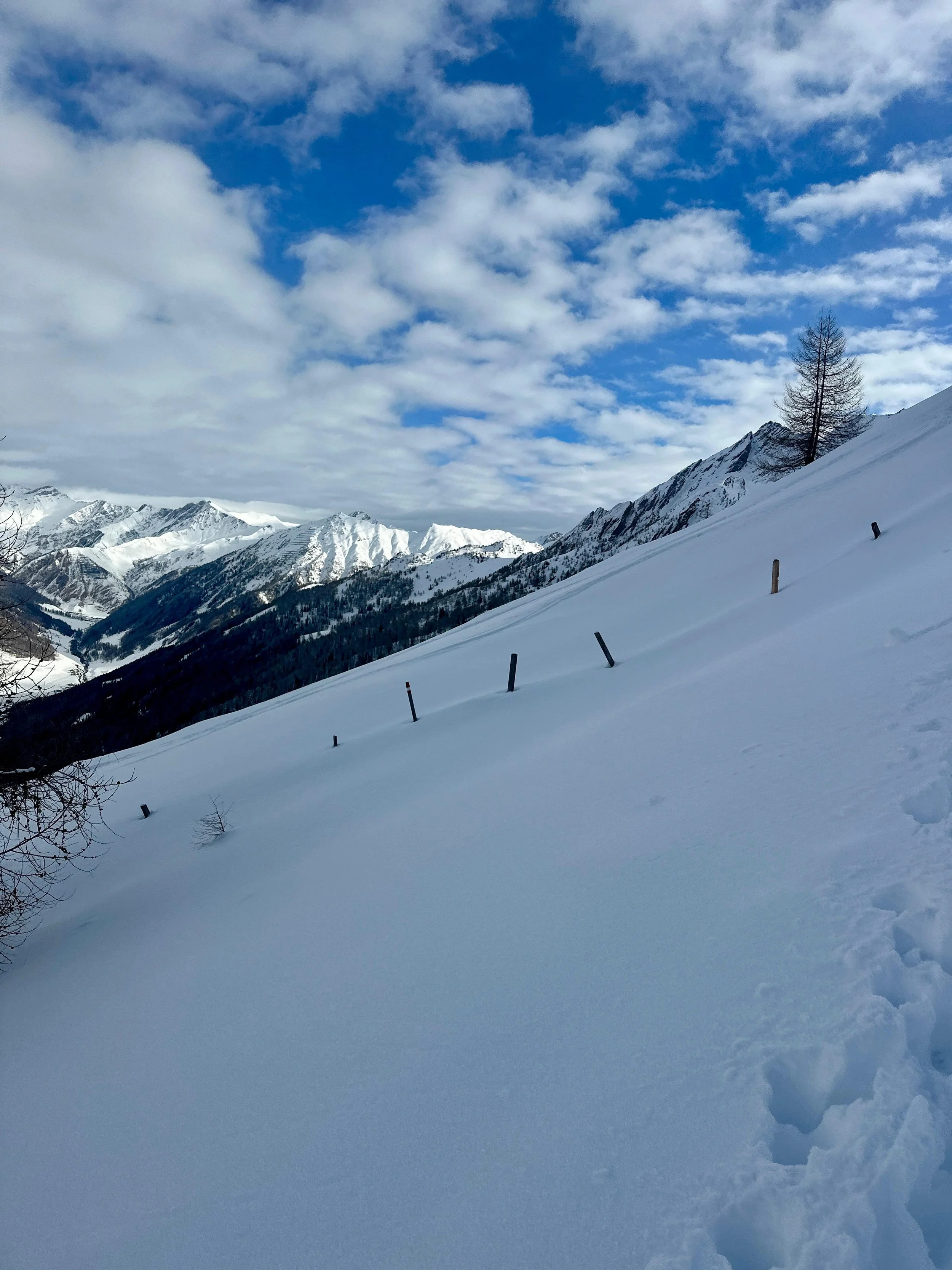
The Ottenspitze – also known as Ultenspitze – is located in the Tux Alps within the Schmirntal ski touring area. It offers a beautiful descent through a sparse forest, making it possible even in less stable conditions. However, caution is needed on the steep summit slope, as it is often wind-loaded after strong southern winds. The tour provides stunning views into the Valsertal and of the mighty Olperer with its striking ice wall. There are great descent options leading directly into the Schmirntal.
Starting point: Schmirntal Stadl
Ending point: Schmirntal Stadl
Ascend: 750vm / 2.5h
Exposition: North-west
Route:
From the parking lot, head south, passing to the left of a farmhouse and across a meadow until you reach the forest edge. Then, turn southeast and ascend through a newly widened forest clearing, crossing a forest road multiple times, until you reach an open clearing at an altitude of 1,810 meters.
At this clearing, follow the lower end of a slope diagonally southeast. After traversing, continue uphill, passing a wildlife feeding station, and ascend through a scenic bowl dotted with individual trees. In the upper section, keep to the left along the ridge and continue upwards until you reach the open slopes beneath the Ottenspitze.
From here, follow the right side of a wooden pasture fence, ascending slightly steeper towards the already visible summit cross.
Descend:
Same as the ascent route or descend directly north over beautiful slopes, passing to the left of the small Ottenspitzhütte. Continue down through a forest clearing until you reach a forest road. Follow the road west for a short distance, then immediately descend through open woodland towards the valley until you reach a bridge. From there, walk about one kilometer back to the starting point. Some sense of orientation is required for this descent!
Photos by @the.running.nomad, @nelesieben and @annikasuess