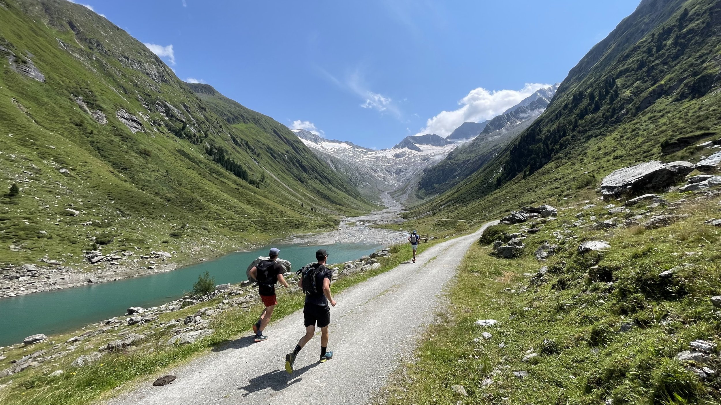
Berliner Höhenweg - Part 1/2
Technical difficulty: 8/10
Fitness: 9/10
Objective danger: 8/10 (lot of exposed sections)
Landscape: 10/10
Busy: 3/10 (except for the Insta-famous bridge next to Olperer Hütte, there 10/10)
Berliner Höhenweg is a long distance hiking trail in Zillertal Alps. This is one of the most beautiful and hardest trails in Tirol. This post describes the first half
Starting point: Finkenberg
Ending point: Alpenrose Hütte
Length: 44km
Vertical: 4000m
Speed: Very technical trails. Expect slow going.
Route:
This post describes doing the Berliner Höhenweg in 2 days (second part is here). It is also possible to split the trail into more days by staying at different huts. Please write me on Instagram if you want recommendations about the options.
We start from a parking lot next to the football club in Finkenberg. A trail starts right next to the parking lot and starts climbing without any hesitation steep up through the forest. We cross a forest road quite a few times, but signs keep leading us towards Gamshütte. After around 800m of climbing, we reach this first hut along the way. From the hut, we continue climbing for a few hundred meters more, before reaching the turn-off point for the traverse trail heading south-west along the mountain side.
This traverse to Friesenberghaus is about 13km and is the largest stretch without any huts on this day. The trail is very technical, leading along narrow and sometimes exposed single trail and through boulder fields. Once we pass a small lake of Wesendkarsee, we know the hut is getting close. Once we reach the hut, it is a great place to get something to eat. The next hut along the way is not so far, but Friesenberghaus is definitely the better one to stop at (see more below :) ).
After leaving the hut, we have a short uphill of few hundred meters before starting the gentle descent to the next hut along the way - Olperer Hütte. The trail slowly gets a bit wider as we get closer to the hut. Next to the Olperer Hütte is an Instagram-famous hang-bridge, which makes this a bit frustrating and somehow fascinating window into today’s humanity. The bridge has a long lines of people waiting to get pictures in front of it and the hut itself, as well as the trail leading up to it (which we will descent) is usually packed with people.
So we will skip the hut and continue on a steep downhill down to the Schlegeis dam. After the steep descent of ~600 meters on 3 kilometres filled with people. we reach the road at the Schleigeis reservoir. This is the only natural bail-point along the route accessible by car. We continue further, crossing the river and passing Alpengasthaus Zamsereck before joining the forest road leading os south-east along the bank of the reservoir. This is the only flat few kilometers along the whole route, so enjoy it.
At the end of the reservoir, the forest road continues a bit further into the valley, before we turn east on a steep trail leading us into our last uphill of the day. We get a nice opportunity for a break after the first 500m, while passing the Furtschaglhaus, the last hut we pass along the way. After the hut, we continue steeply up the mountain. First through the alpine meadows and then through increasingly rocky terrain all the way to the highest point of the entire Berliner Höhenweg - the Schönbichler Horn (3133m).
Enjoy the amazing views from the summit cross before starting the very technical descent down to the valley, the last one of the day. First we follow a steep and very technical ridge, which eventual turns into a bit wider, but still very technical trail. The descent is unrelenting for over 1000 vertical meters. Eventually, we reach a a turn-off point, where the trail leads to the Berliner Hütte. We will continue further down to the Alpenrose Hütte, where we can spend the night.
If you don’t want to continue, it is possible to take the valley out back to Mayrhofen from here.
Photos by @the.running.nomad, @bennibru, @innsbruckalps and @matthias.issig


