Berliner Höhenweg - Part 2/2
Technical difficulty: 8/10
Fitness: 9/10
Objective danger: 7/10 (some exposed sections)
Landscape: 10/10
Busy: 3/10
Berliner Höhenweg is a long distance hiking trail in Zillertal Alps. This is one of the most beautiful and hardest trails in Tirol. This post describes the second half
Starting point: Alpenrose Hütte
Ending point: Mayrhofen
Length: 43km
Vertical: 3000m
Speed: Very technical trails. Expect slow going.
Route:
This post describes doing the Berliner Höhenweg in 2 days (first part is here). It is also possible to split the trail into more days by staying at different huts. Please write me on Instagram, if you want recommendations about the options.
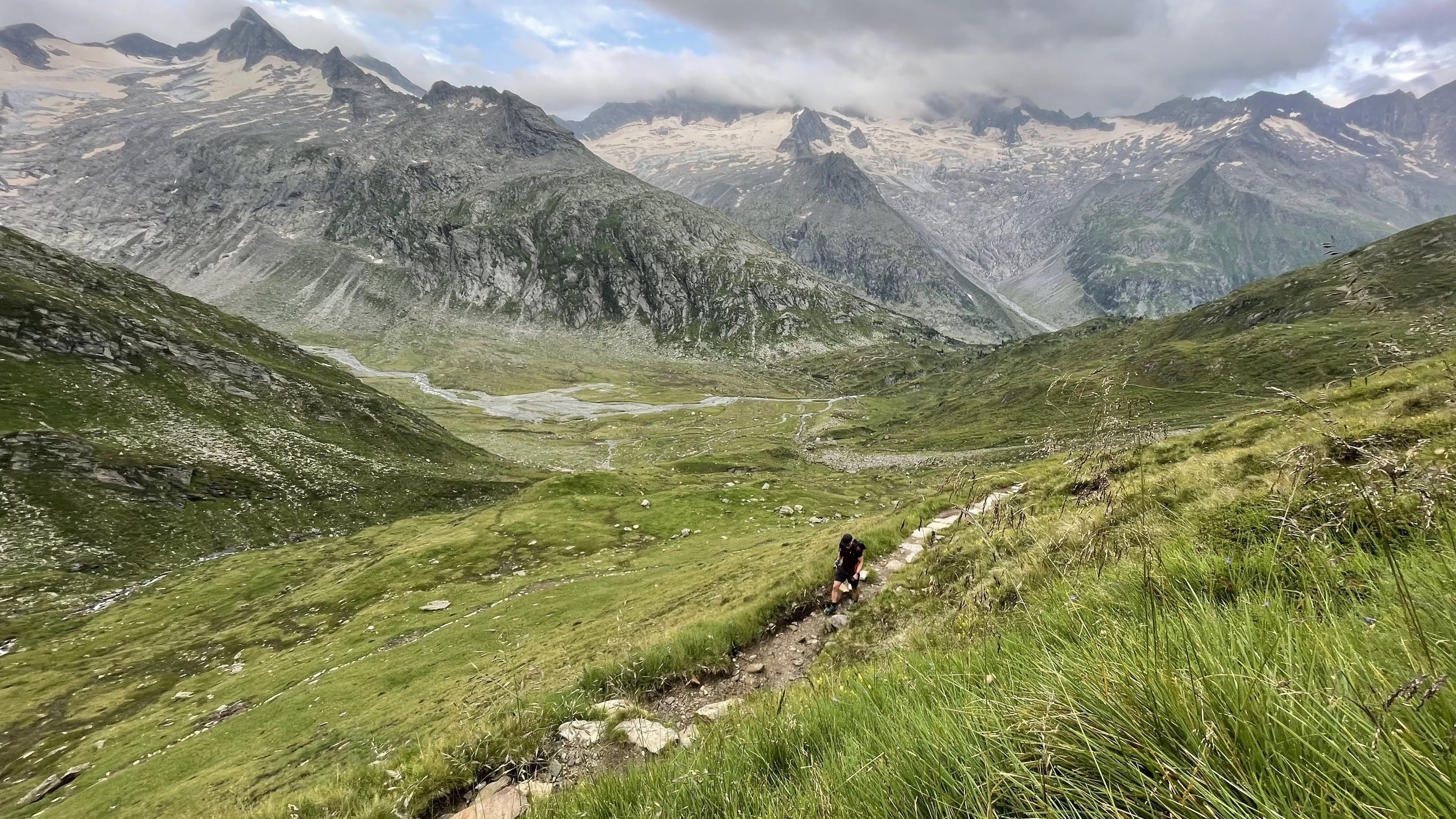
We ended part 1 of this description sleeping at the Alpenrose Hütte. We start of with the first long uphill of the day, in the direction of Berliner Hütte. We are likely passing the hut too early in the day (recommend starting before 7am), so we continue directly further along the trail towards the Schwarzsee. After another few hundred vertical meters, amazing views open up looking backwards at the hut and into the valley.
After the lake, there is one more short steep section and then the climbing continues more gradually up through the valley towards Mörchenscharte - the first pass of the day. We reach the pass after a short steep section and see the much longer steep descent in front of us. The descent leads us over 1000 vertical meters in just a few kilometers down through a varied terrain. After downclimbing a fixed ladder at the bottom of the valley, we have to cross the Floitenbach stream and start climbing again towards the Greizer Hütte. The trail climbs in long, relatively gentle zig-zags all the way to the hut. This is the first chance for a break along the way.
After the hut, we continue climbing up towards the second pass of the day at Lappenscharte. We get a nice view of the imposing summit of Gigalitz (3001m) from the pass, before descending down into the valley. A huge cauldron opens up in front of us. The next hut is clearly visible at the same elevation across the valley, but a long and technical trail along the side of the cauldron is still in between. This part of the trail is only the first taste of what is coming for the rest of the day. After few more hours, we reach the Kesseler Hütte, a third hut along the way on this day. Highly recommend to take some team to eat, drink and rest here before the next section.
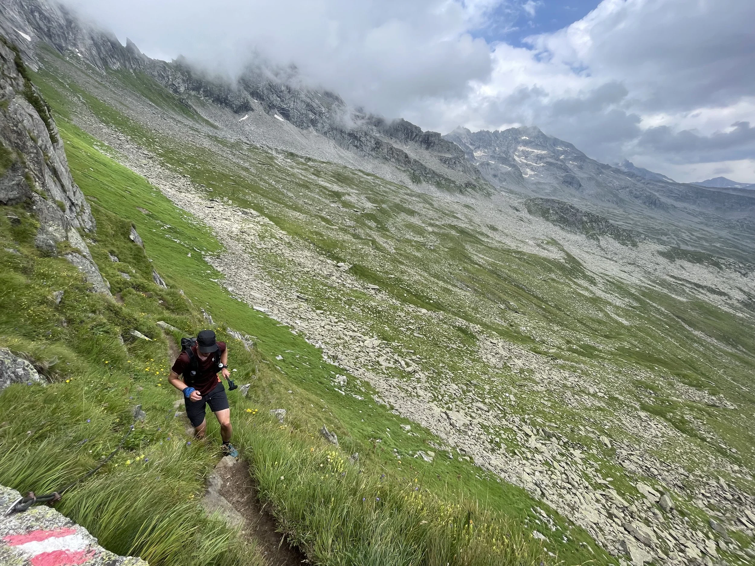
The next section looks deceptively flat and short on the route profile. The part of the trail known as Siebenschneiden Steig (the “trail of seven cuts”) traverses the hillside high up towards and passing seven side ridges along the way. The combination of huge boulder fields, very technical terrain and the distance created by going in and out of the small side-valleys should really not be underestimated.
Once we finally at the last pass at Toreckenkopf, we see the Edelhütte only a short way away, and all downhill. In fact, once we grab some food and drink at the hut, all that is left for us to do is the 1500 vertical meters back down to Mayrhofen and the end of our adventure.
Photos by @the.running.nomad, @bennibru, @innsbruckalps and @matthias.issig


