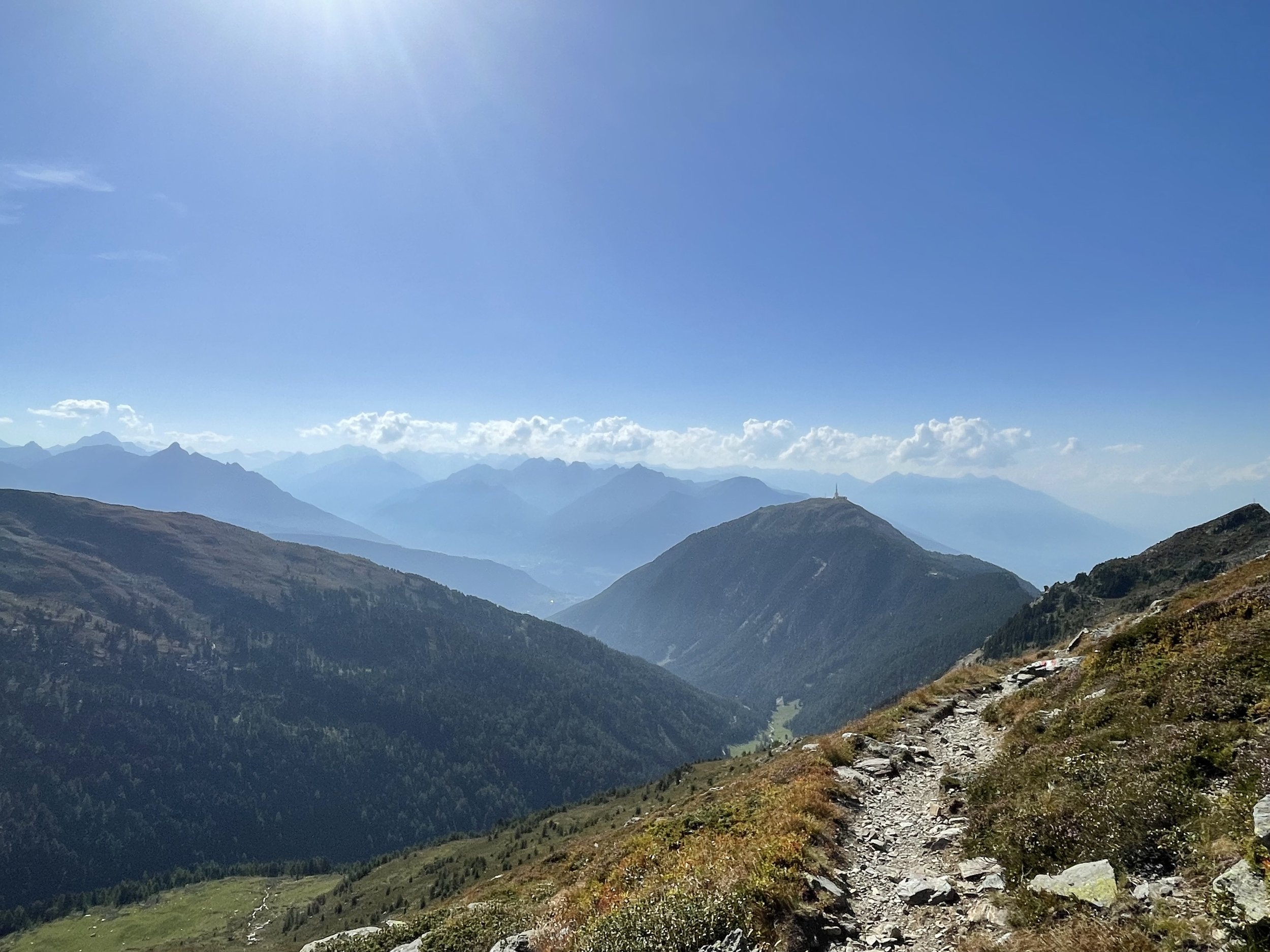
The Inntaler Höhenweg: West Part
Technical difficulty: 3/10
Fitness: 7/10
Objective danger: 2/10
Landscape: 7/10
Busy: 7/10 (especially at the beginning)
The route covers the western part of the Inntaler Höhenweg, between the summits of Patscherkofel and Glungetzer running along the high trail in between.
Starting point: Parking at Patscherkofel Cable Car
Ending point: Parking at Glungetzer Cable Car
Length: 25km
Vertical: 2000m
Speed: Mostly very runnable single track, some forest roads
Route:
Last week, I had a nice time running through the western part of the Inntaler Höhenweg, also known as the Inn Valley High Trail. I wanted to share it with y’all.
The starting point for this epic adventure is the parking lot at the Patscherkofel ski area. Heads up: this area can get super busy, so try to arrive early if you can. From here, we'll head uphill towards the Patscherkofel summit.
Our journey begins with a climb up to Igler Alm. Once we reach Igler Alm, take a moment to catch your breath and enjoy the view. We'll keep going, following the trail markers to our next destination: Lanser Alm. Going from here, the path here is really nice and not too steep, which makes for a pleasant run.
Continuing on, we'll reach the top station of the cable car and the Shutzhaus. From here, we have just 300 more vertical meters to climb to reach the Patscherkofel (2246m) summit. It's a bit steep, but you can do it!
Once we reach the summit of Patscherkofel, give yourself a high-five! The views are incredible. But don't rest too long; we still have more to see. We'll follow the ridge east towards a hut called Boscheben. Keeping on the ridge, we'll eventually reach the summit of another mountain, Viggarspitze (2306m). Take in the views and maybe snap a few pictures for memories.
After reaching Viggarspitze, we'll get back on the Inntaler Höhenweg trail. We'll follow it until we get to Glungetzerhütte and then up to the summit of Glungetzer (2677m). This part of the trail is super scenic, so keep your eyes peeled for awesome sights!
Now it's time to head back down. We'll leave the high trail and make our way down to the parking lot near the Glungetzer cable car. The cool thing is, there are tons of ways to get down. You can follow the GPS track I shared, or pick your own path—either way, it's a fun descent.
And there you have it! An amazing trail run through the western part of the Inntaler Höhenweg.
Pro tip: you can make the run a LOT shorter by taking the cable cars up and/or down.
Pro tip #2: there are a lot of huts along the way. This is a great chance for a long slow day out with a lot of cool places to stop.
Photos by @the.running.nomad


