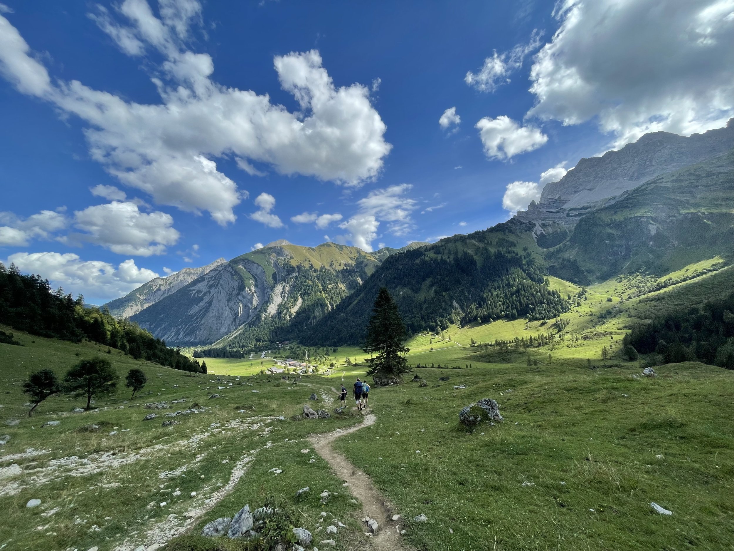
Karwendelmarsch with variations
Technical difficulty: 2/10
Fitness: 9/10
Objective danger: 2/10 (some technical sections on the last summit)
Landscape: 9/10
Busy: 7/10
The Karwendelmarsch is a classic running/walking race between Scharnitz and Pertisau. This route loosely follows the course of the race with some variations in some places using single track wherever possible.
Starting point: Tourist Center Parking Scharnitz
Ending point: Parkplatz Karwendeltäler Pertisau
Length: 50km
Vertical: 2100m
Speed: Very runnable and fast. First half all forest roads, second half single track.
Route:
This week, I'm taking you on one of the most runnable ultra trails near Innsbruck. It’s a variation on the popular Karwendelmarsch footrace. We'll be crossing the stunning Karwendel National Parks from west to east, and you won't want to miss it! Our starting line is the tourist Information Center in Scharnitz.
Right at the beginning, we head into the Karwendel Valley. For the first 18 kilometers, we'll be on a forest road that gently climbs and flattens out through a wide valley. The last 4 km get a bit steeper, leading us to the Karwendelhaus and also our first pass to cross along the way.
After a few twists and turns downhill, keep an eye out for a small trail leaving the forest road to the right. This part is slower and trickier than the race route, but it's so much prettier! Soon, we'll connect back to the road near Ladiz Alpe. From there, we head uphill and eventually turn onto a trail that leads to Falkenhütte. This hut is a great place to take a break and soak in the beautiful view.
From Falkenhütte, the trail gets a bit more technical. It moves along the hillside, goes up a small bump, and then starts a long downhill to a place called Eng. This area gets busy, so be prepared to say hi to a lot of people! Next, we start climbing again towards Bins Alm. Once we reach it, we'll leave the race course and continue climbing to another hut, Lamsenjochhütte. Trust me, the view from this saddle is worth the climb!
After enjoying the view, it's time for a loooong downhill—about 14 km long! First, it's a steep, technical trail, but then it flattens out.
We'll pass through Gramal Alm and then run on a wide, almost flat hiking trail through fields. Eventually, after we pass Sennhütte Falzthurn, the trail turns into pavement and becomes a proper road run for the last few kilometers.
Once you're done, what's better than cooling off with a dip in the lake? Trust me, you've earned it!
Photos by @the.running.nomad and @meid.bereit


