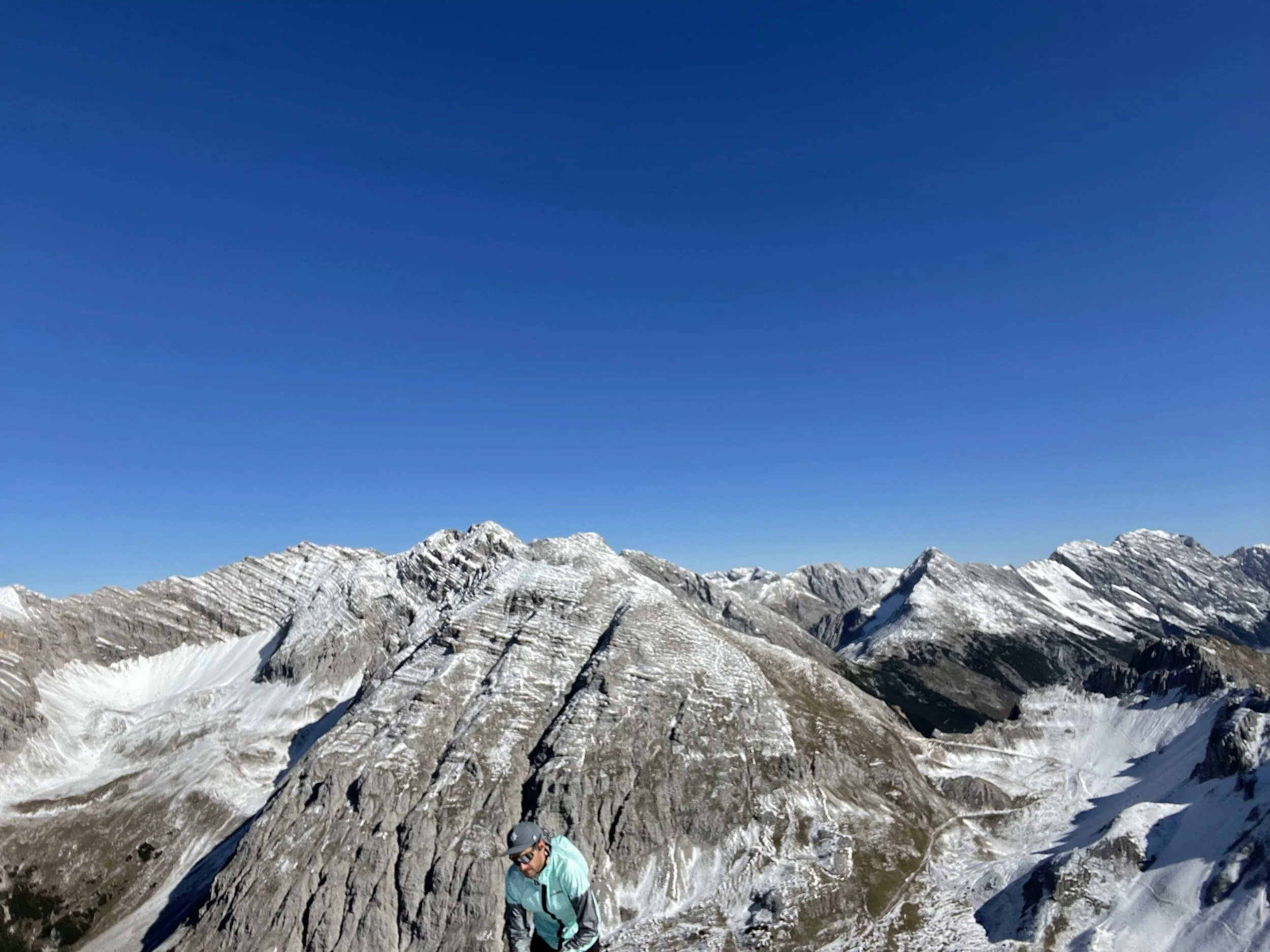
Nordkette East
Technical difficulty: 7/10
Fitness: 7/10
Objective danger: 4/10
Landscape: 8/10
Busy: 6/10
A beautiful line directly about the city of Innsbruck taking you through variety of terrain in the Eastern half of Nordkette.
Starting point: Halltal Parkplatz
Ending point: Hafelekar Cable Car Station
Length: 15.5km
Vertical: 2100m
Speed: some parts are quite runnable, allow extra time for Rumerspitze and Pfeiserspitze
Route:
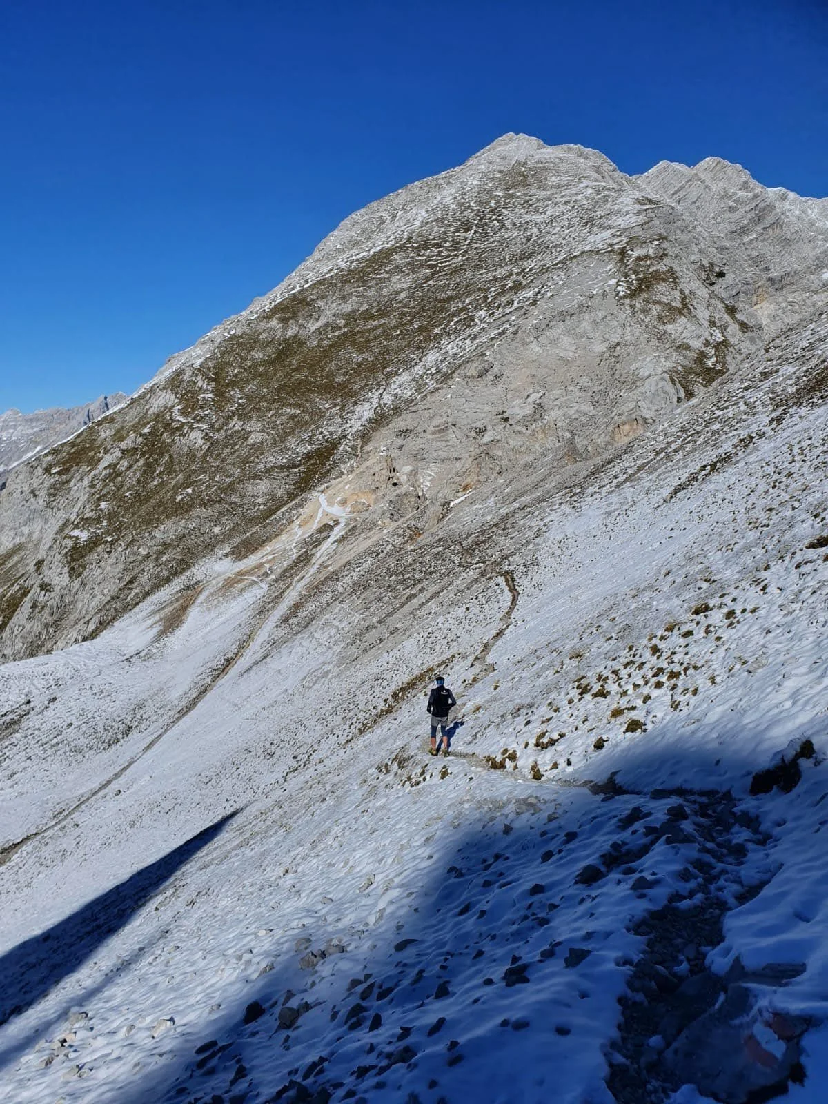
The Nordkette mountain range, with its rugged peaks and panoramic views, is a haven for outdoor enthusiasts. The eastern half of this range offers a particularly rewarding running route. More runnable than its western counterpart, this trail takes you on a journey through diverse landscapes, challenging terrain, and breathtaking vistas above the city of Innsbruck.
You will begin at a free parking lot at the mouth of the Halltal valley. From here, follow a signed trail heading west, climbing steeply uphill. This part of the trail takes us through an old burn area, where ground reinforcement against landslides are evident.
After ascending about 700 vertical meters, we reach the first summit cross at Hochmahdjochpf (1738m). This marks the official start of the ridge. The view from here is a taste of the stunning scenery that awaits us on the trail. The ridge itself can be roughly divided in three sections.
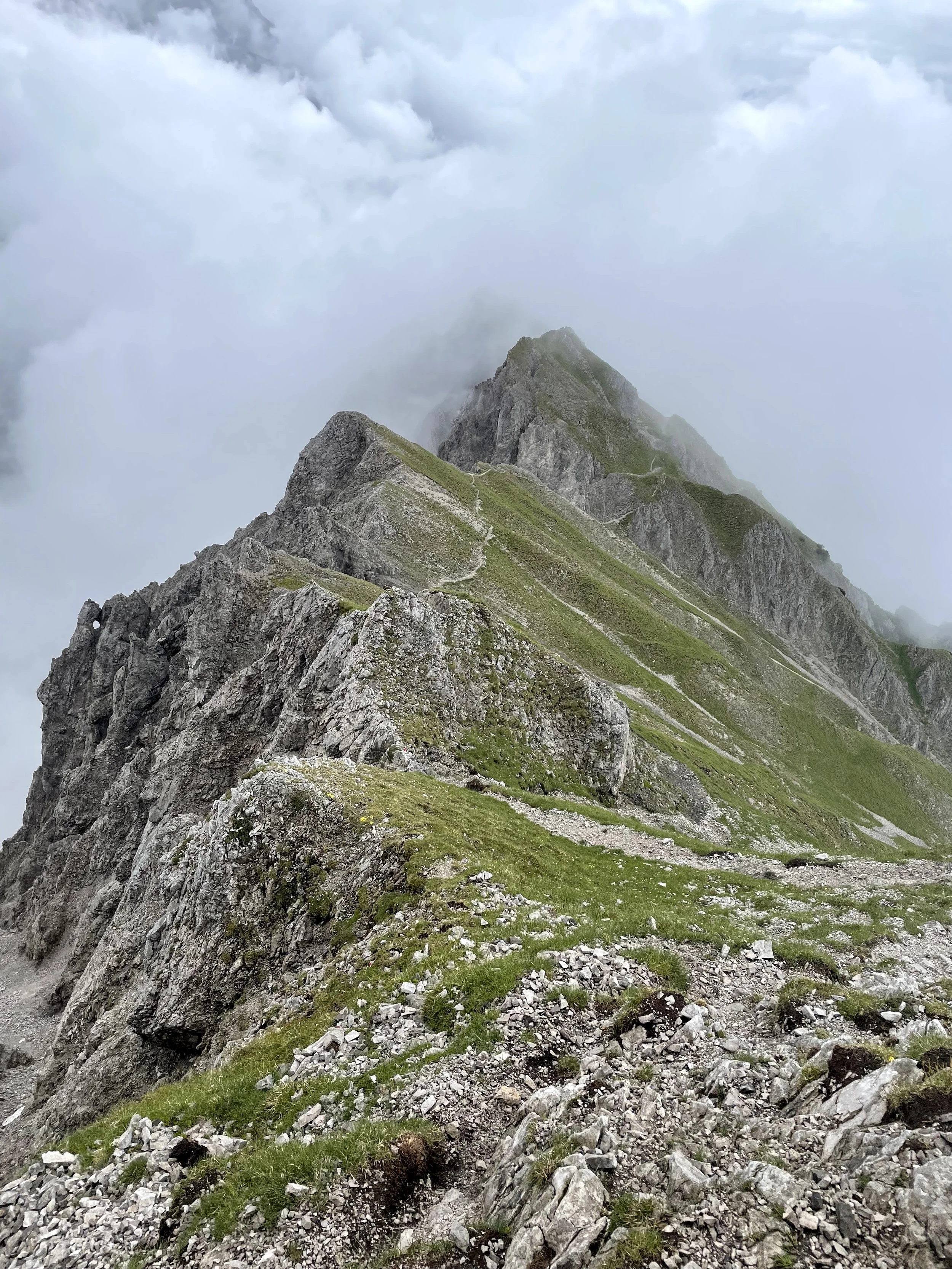
The first section of the ridge is lower down and quite runnable. We cross Haller Zunterkopf (1966m), before descending to the Törl saddle. This part of the route offers a pleasant run, with the trail winding its way through the rugged landscape.
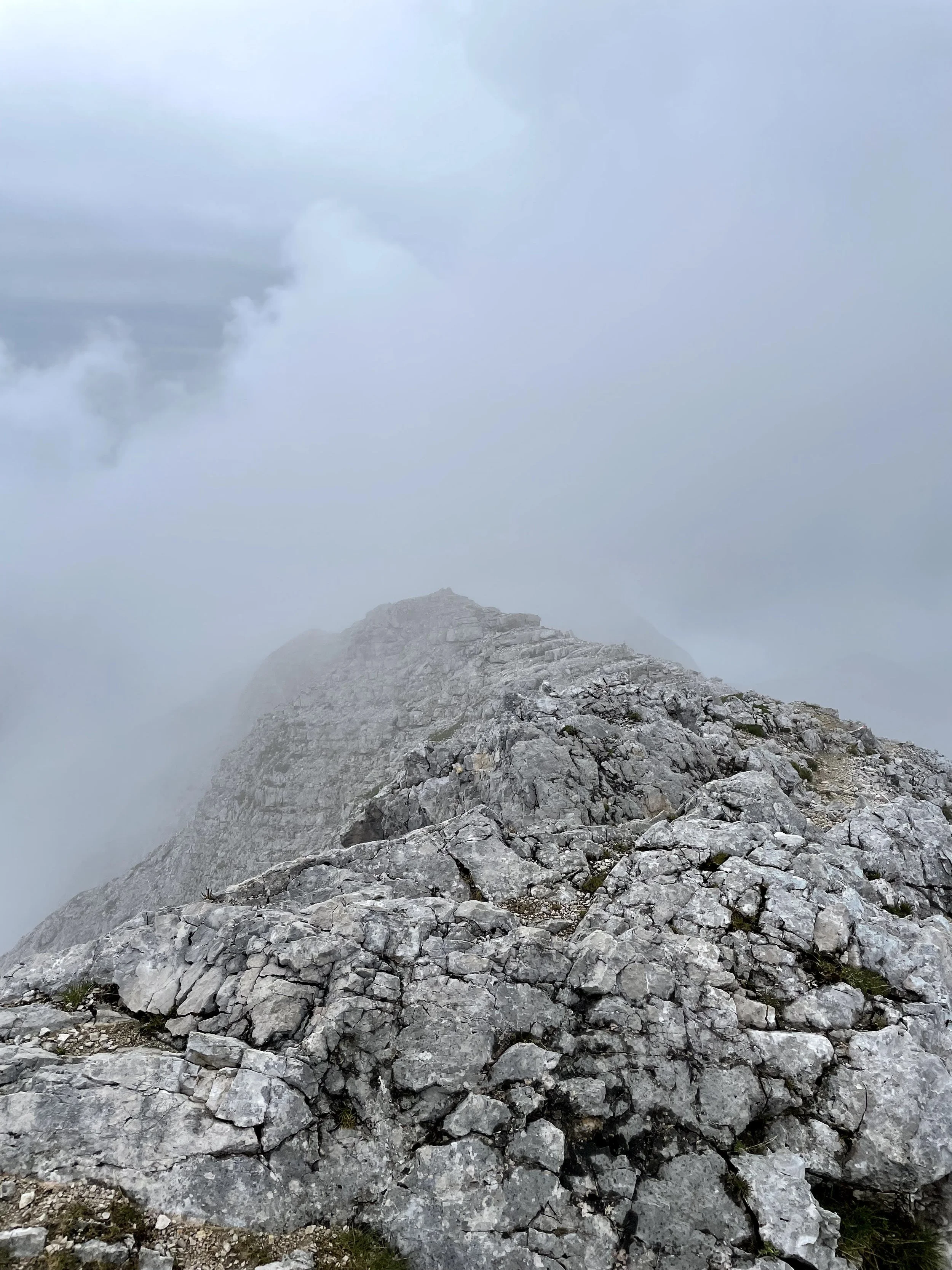
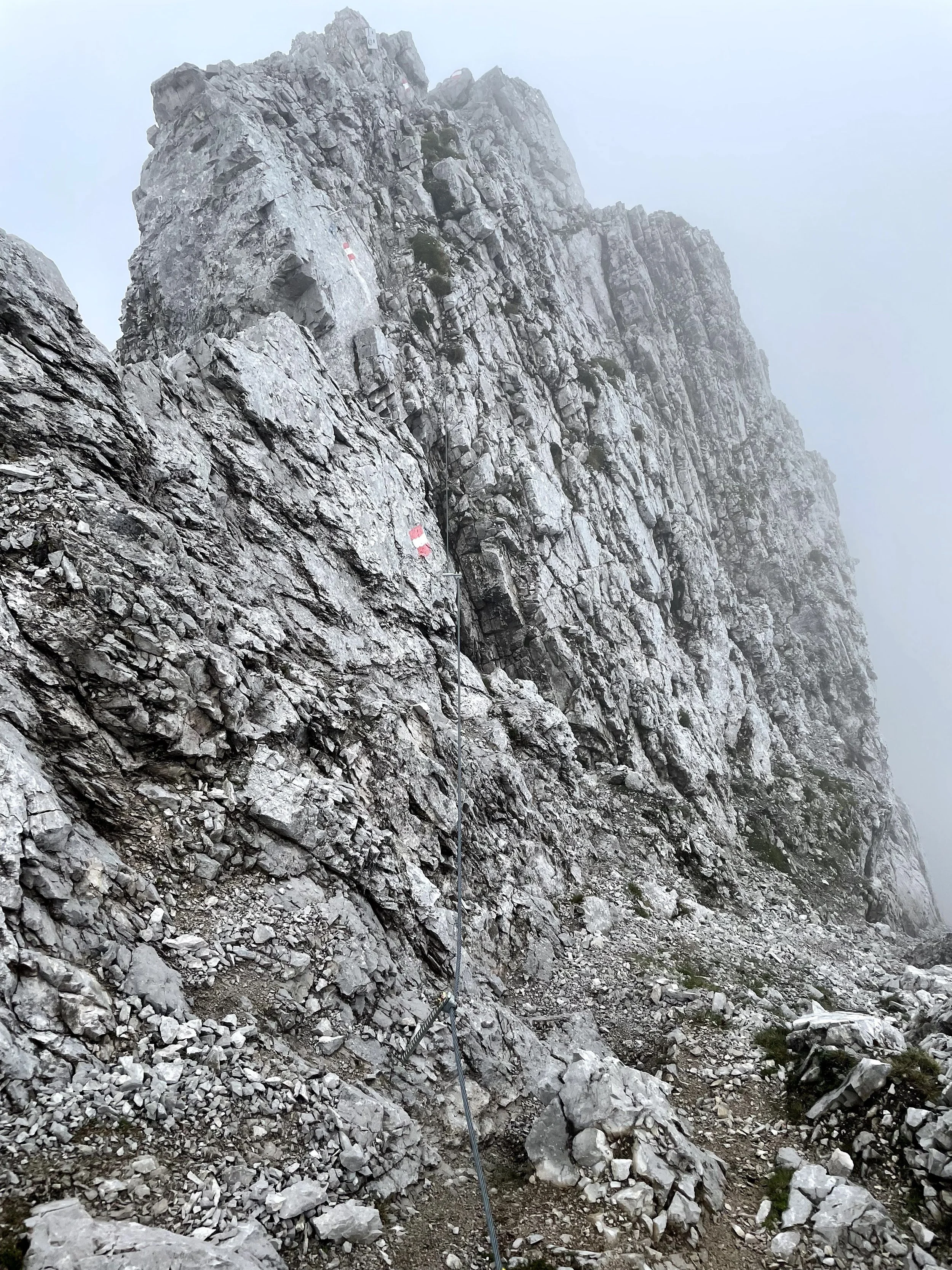
At Törl saddle, we embark on the most technical section of the route (the second part). A steep uphill climb takes us to the summit of Lattenspitze (2330m) and then onwards through Pfeisenspitze (2345m), and Thauer Jochspitze (2309m). Although the ridge itself might not have a ton of elevation difference, the constant up and down on cable-secured trails can make this section slow going. But the challenge is part of the adventure, and the views from the summits are well worth the effort. After descending to Kreuzjochl, we continue west towards the main gem of the day - Rumerspitze (2454m). The crossing of the Rumerspitze ridge is a true classic in the area, offering amazing terrain and spectacular views of the Inn valley. The summit of Rumerspitze is a highlight of the route, a moment to savor and remember. After descending from the west ridge of Rumerspitze, the technical sections are pretty much behind us, replaced by much more runnable terrain - the third section.
We connect to the popular Goetheweg trail and cruise all the way to Hafelekarspitze (2334m) and the top station of the Nordkette cable car. This part of the route is a joy to run, with the trail winding its way through the stunning alpine landscape. Upon reaching Hafelekarspitze, we have a choice. If our legs are still feeling strong, we can continue running all the way back down to Innsbruck. Alternatively, we can take the cable car down and save the downhill legs for another day.
Tip: bring a friend along and leave one car in Hungerburg or somewhere in the city. Getting back to Halltal with public transport can be challenging.


