The Pendling Express
Technical difficulty: 7/10
Fitness: 9/10
Objective danger: 2/10
Landscape: 7/10
Busy: 1/10
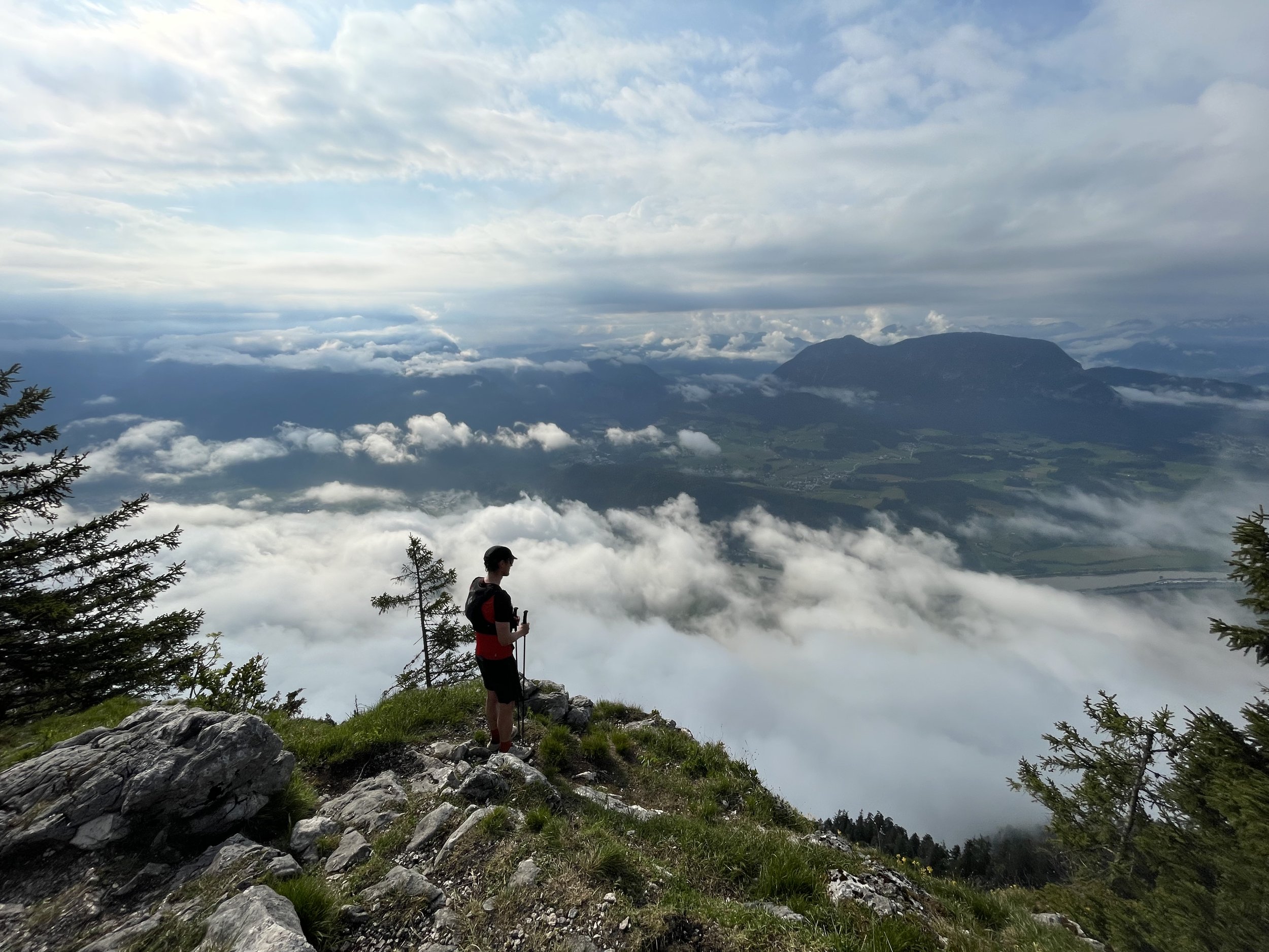
The Pendling Express is a great route of the beaten pass following a logical line parallel to Inn Valley starting from Kufstein. It is great for early season due to lower elevation.
Starting point: Kufstein P+R Parking at the train station
Ending point: Small parking lot close to Kramsach
Length: 42km
Vertical: 3200m
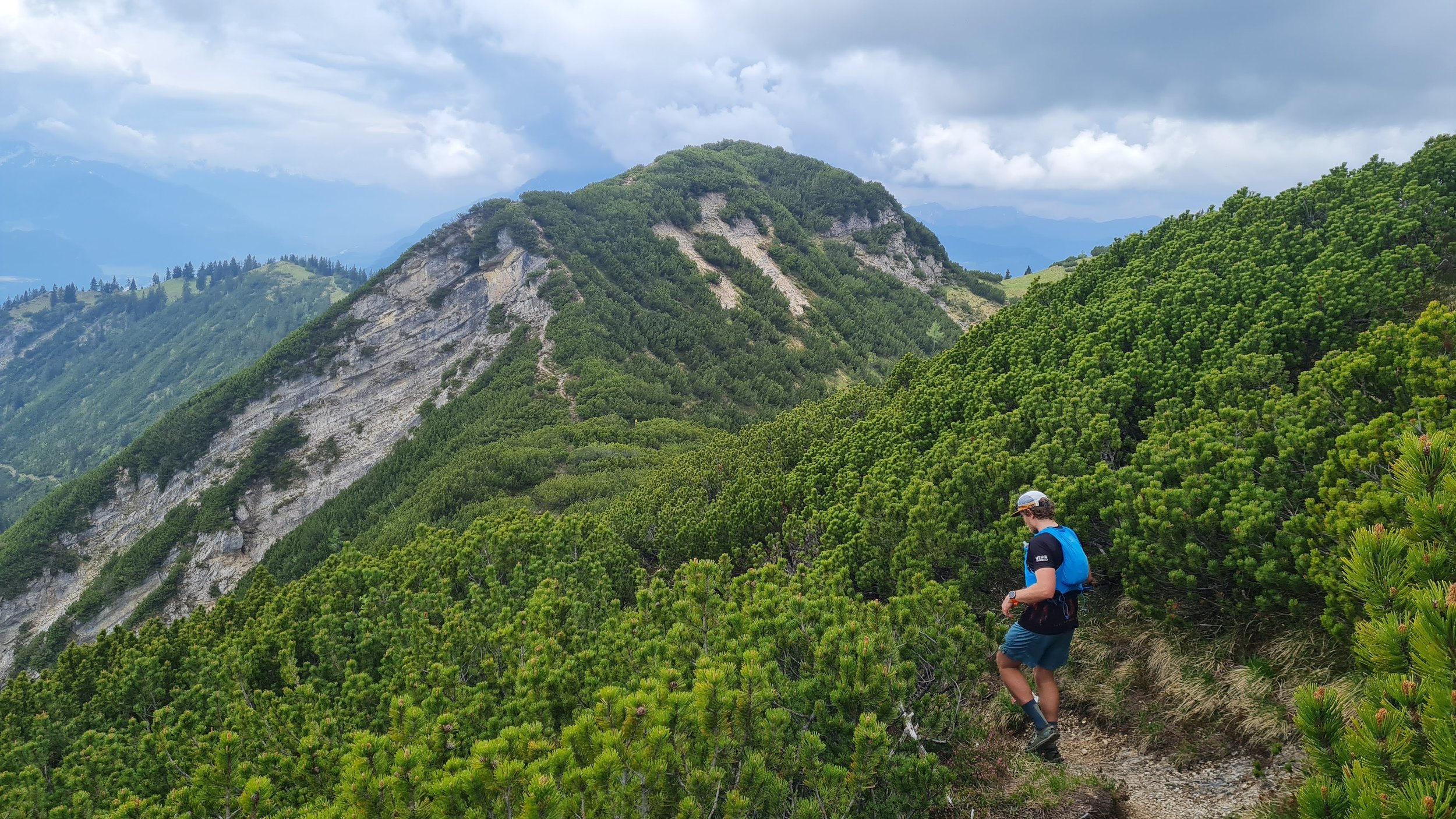
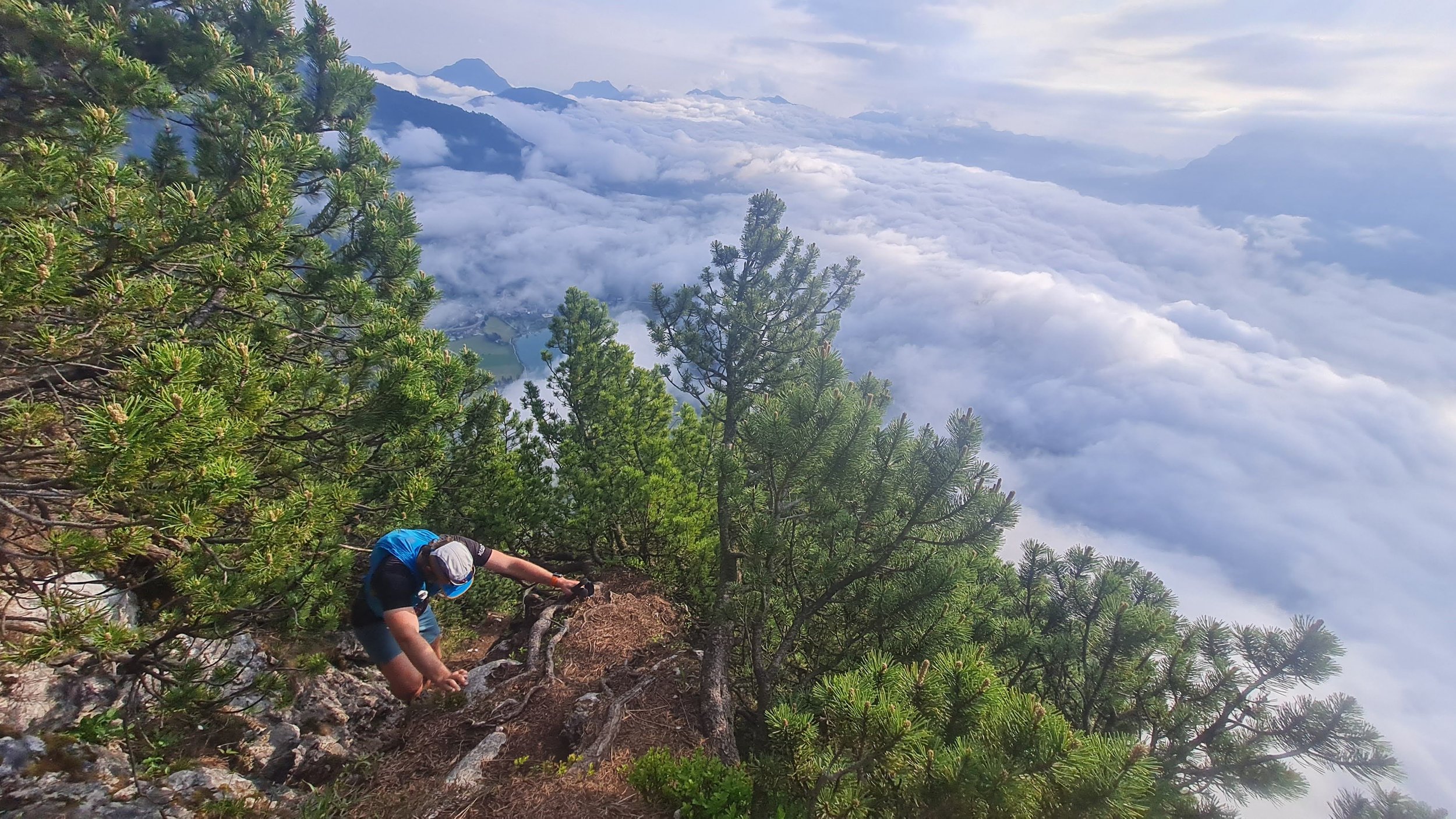
Speed: first half is really technical and partially overgrown (so quite slow), second half a lot more runnable.
The original route is a brain child of @bennibru.
Route:
Today, I wanted to share a great route with you. It's a challenging, yet rewarding course along the Inn Valley, one where you can be almost alone, even during peak running seasons. A bonus? It’s accessible early in the season thanks to its lower elevation and so great for spring long runs.
The journey starts from the P+R Parking lot at the Kufstein train station. I'd recommend teaming up with a friend and leaving one car at the finish. However, if that’s not feasible, there are good train connections back to Kufstein, though you might have to take a bus or hitchhike from the end of the route to the train station in Kramsach.
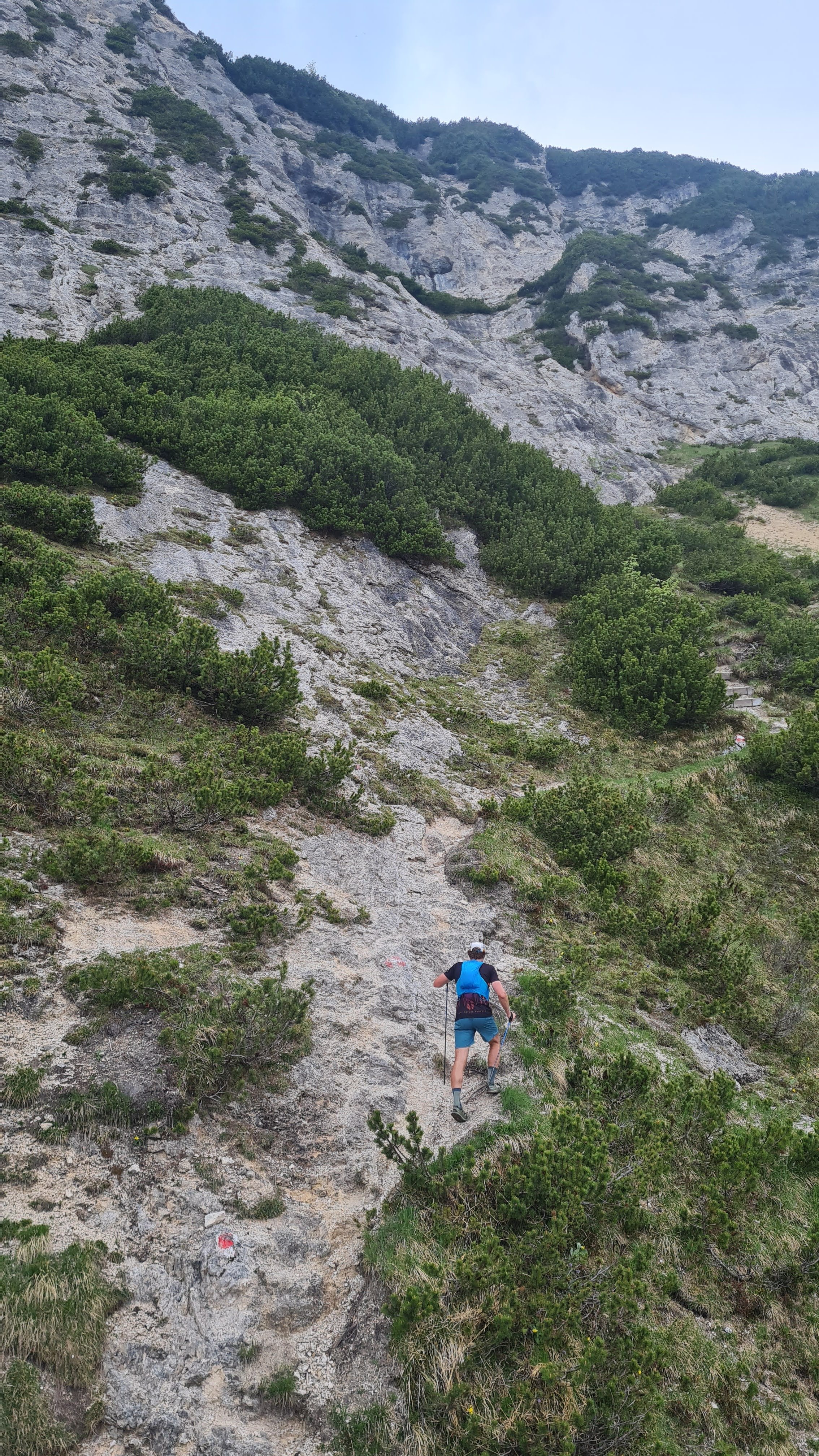
The route kicks off through some funky smelling fields, as we make our way out of the town of Kufstein. After a short stint, you'll cross under the highway, landing on a narrow, slightly overgrown single track. This marks the start of your retreat into nature, leaving the urban sounds of the town behind. The first few hundred meters connect to a forest road, but soon enough, a faint, unmarked trail veers off to the left, ascending steeply. I'd strongly recommend using GPS to stay on track here. Despite being marked with blue dots (and I use the term 'marked' loosely here) you pretty much just follow a faint trail through the forest.
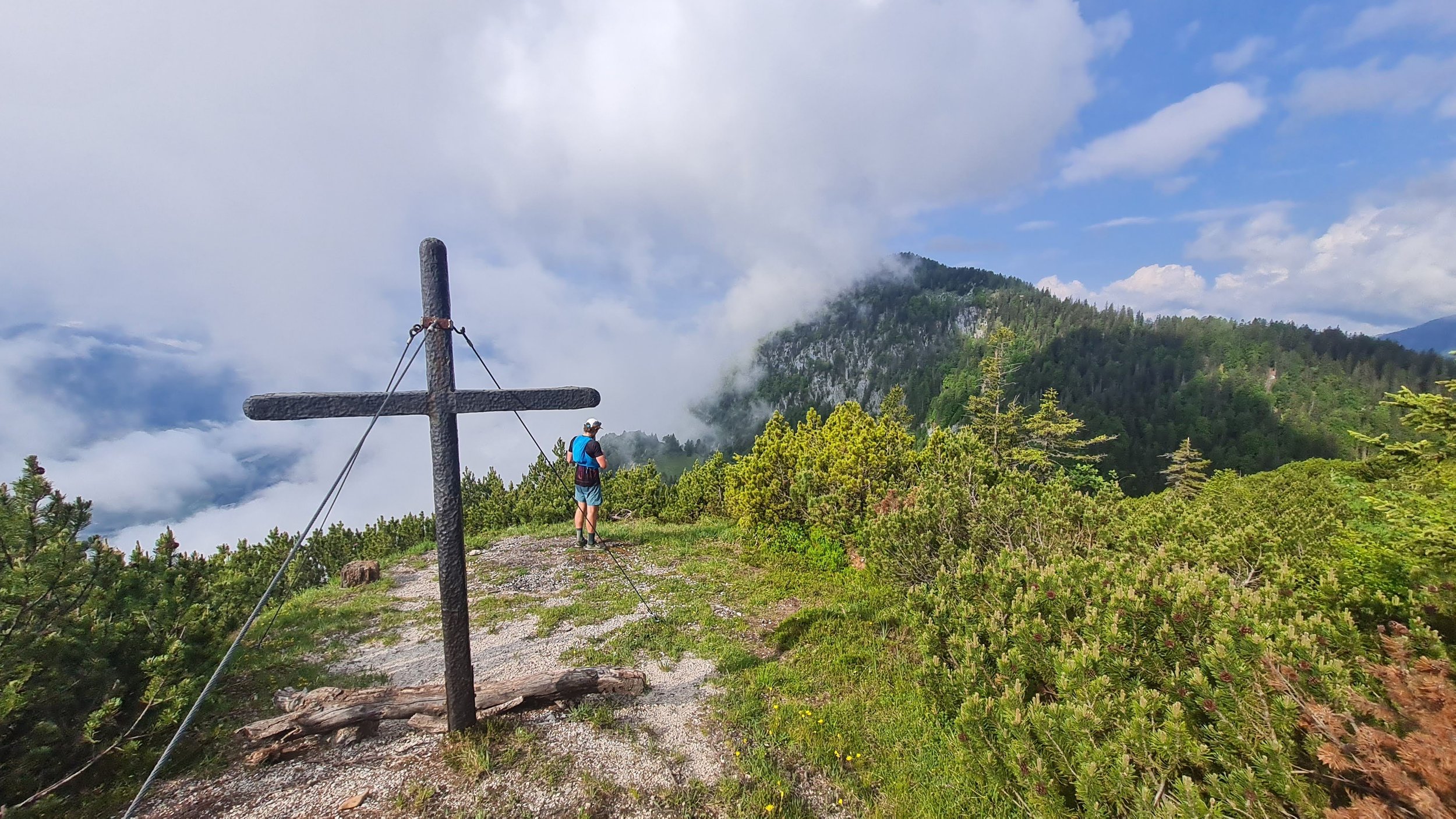
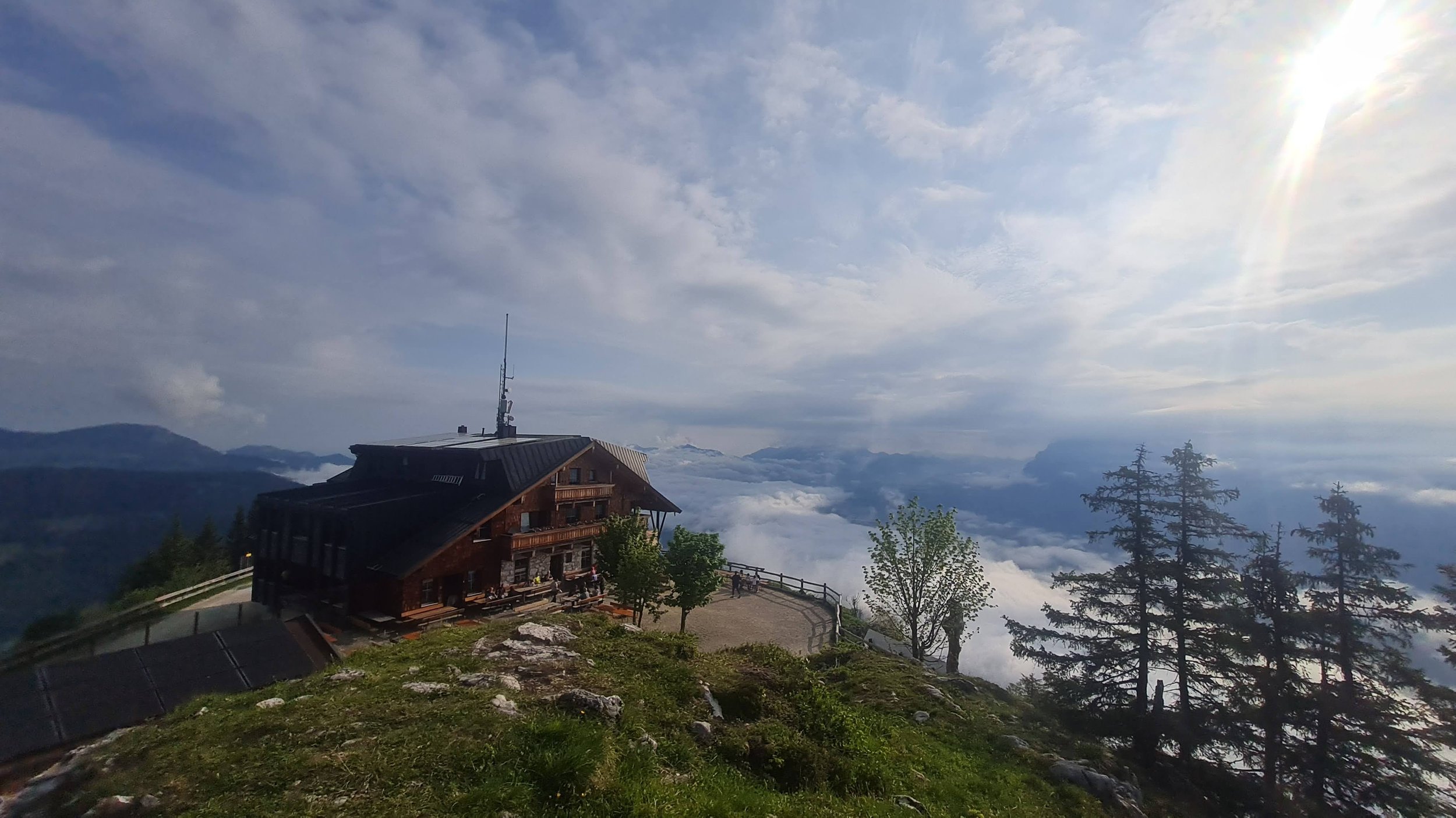
The trail climbs relentlessly up, about 1200 vertical meters, until you reach the Pendlinghaus and the first summit cross at Pendling (1563m). From here on, the trail takes on a rolling nature, filled with a series of ups and downs. You will briefly connect to a forest road - enjoy it, trust me you will miss it later ;). Soon you'll find yourself back on a small, overgrown single track again. Winding up and down through endless little saddles and summits, you'll run past Jochkopf (1409m), Feuerköpfl (1291m), Köglhörndl (1644m), Hundsalmjoch (1635m), and a handful of other nameless summit crosses before reaching Almgasthof Buchacker at the ~19km mark.
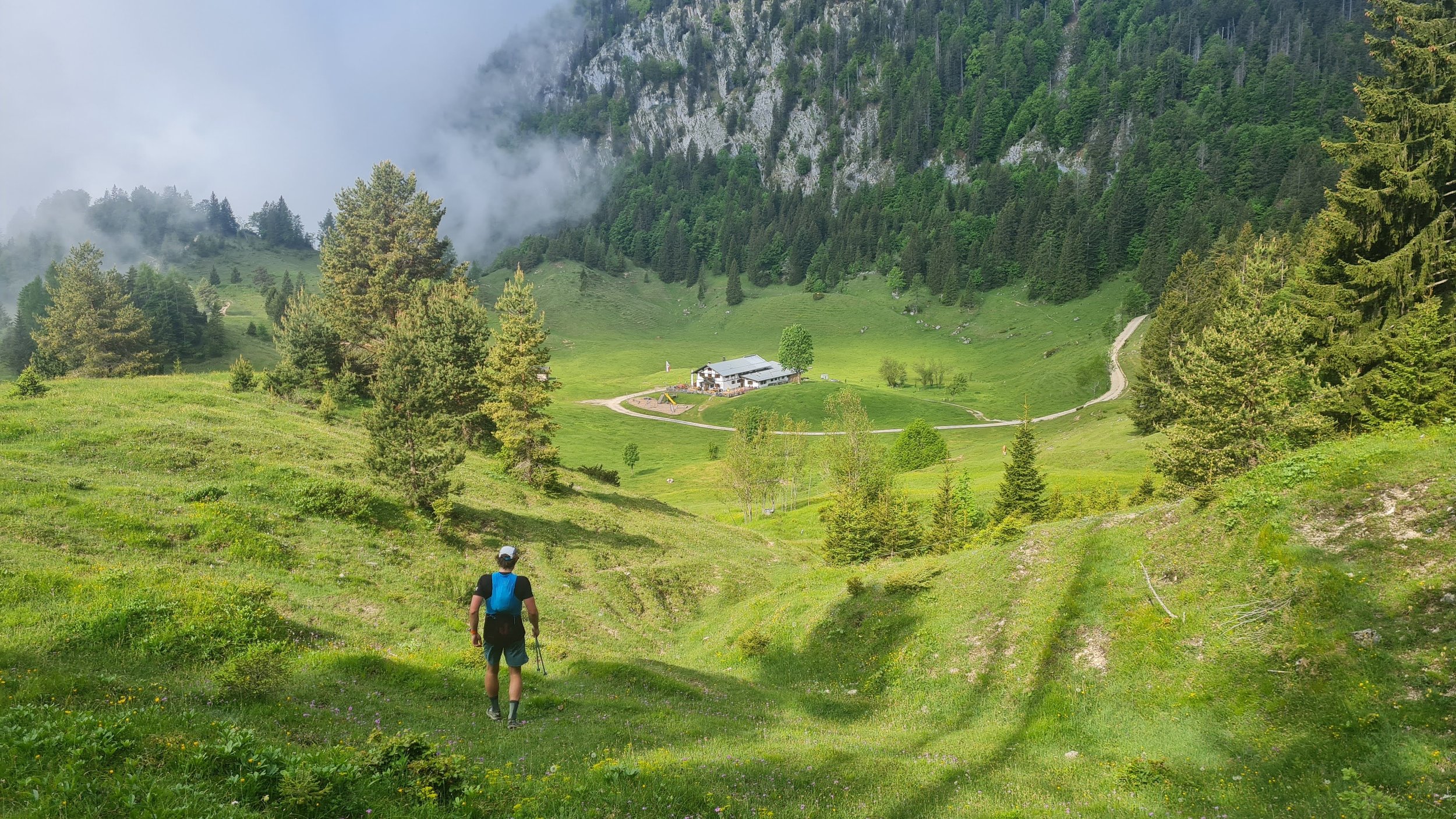
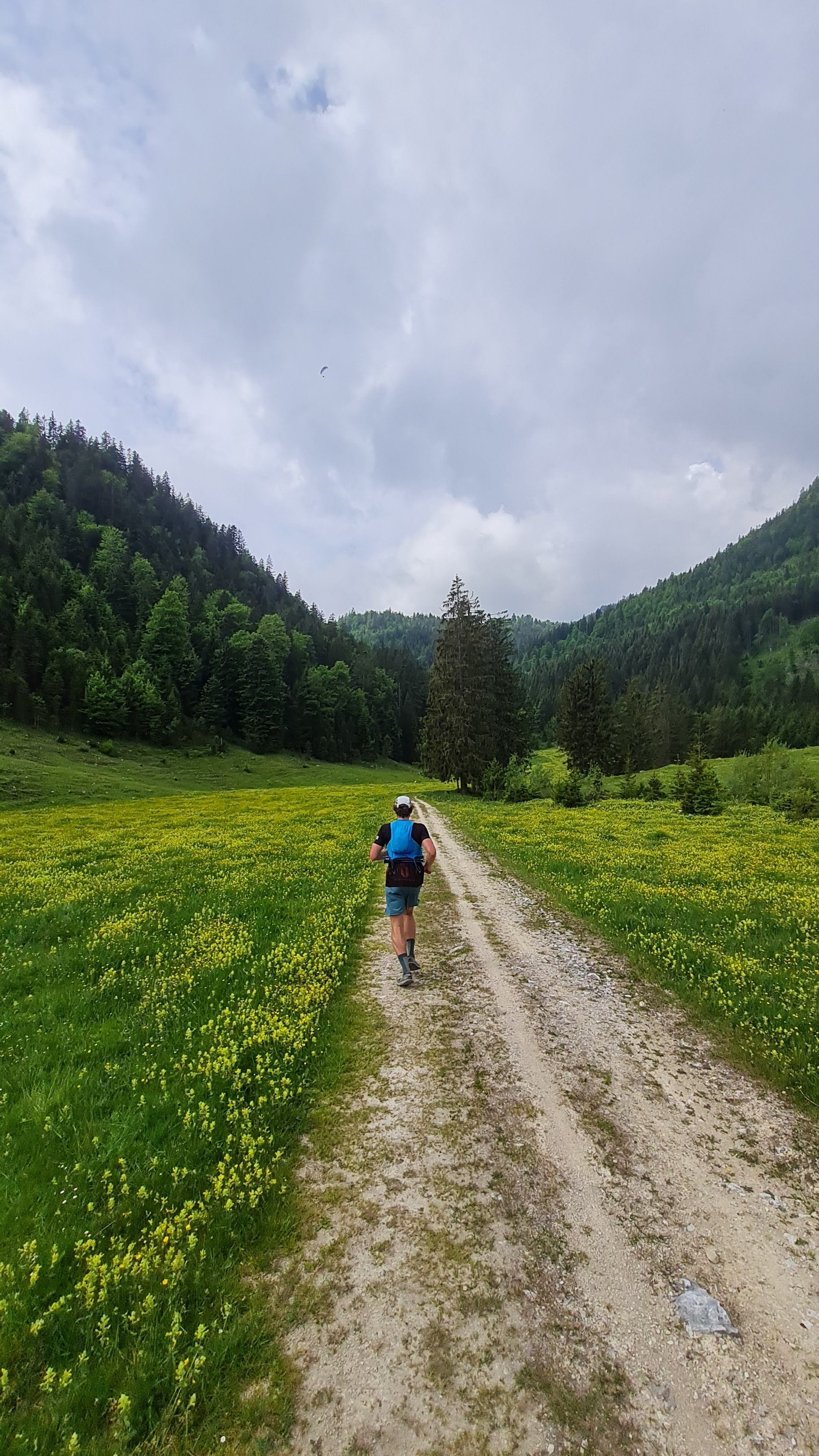
Almgasthof Buchacker offers a welcoming spot to pause and rehydrate. With a bit of squinting, you can imagine it's the halfway point of your run! The terrain from here becomes much more runnable and the moving gets a bit faster. Enjoy the ensuing few kilometers of forest roads and pleasant trails - a refreshing opportunity to stretch your stride and actually run.
Upon reaching and crossing the small summit bump of Ascherjöchl (1458m), you're faced with a technical climb up to Blessenberg (1743m). This stretch has its challenges - big steps, loose rocks, and a few fixed ropes. So, watch your step and take it steady. As you embark on a long descent down from the summit cross, you'll catch sight of the last two summits patiently waiting in the distance. Once you conquer this descent, the final stretch is a few kilometers of flat approach on forest roads, where you can pick up the pace before the final two climbs.
After a trail veers off towards a modest climb over the Zimmerer Kopf (1246m) summit. From here, you're led onto several kilometers of more tranquil forest roads and flatter trails again before the final uphill to Voldöpper Spitze (1509m).
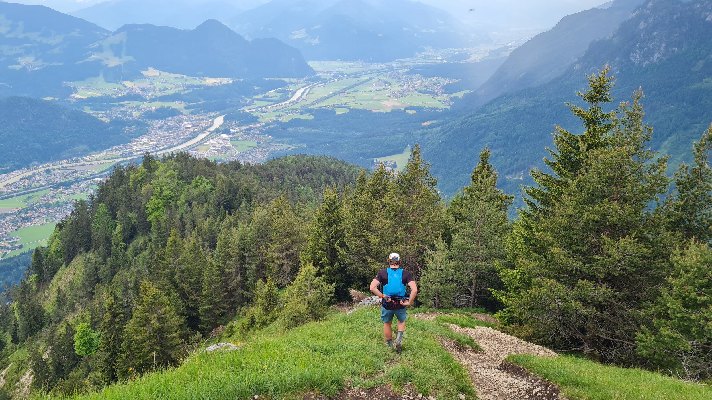
Prepare yourself, the last long descent is no gentle ride. After the terrain and miles you've covered, this steep descent might feel brutal. However, but it's all part of the journey that is the Pendling Express. The trail leads you all the way down to the river. And here's your finish line waiting – the route isn't considered complete until you jump into the river! There's no better way to finish this route.
This route is a real hidden gem and well worth the effort. And you can see it and remember every time you drive past on the highway in the valley. See you out there!
Pro tip: there are not many places to refill water along the route, so when you find out, fill all your bottles every time!
Photos by @bennibru and @the.running.nomad


