The Ups Express
Technical difficulty: 7/10
Fitness: 6/10
Objective danger: 4/10 (some sketchy sections on the last downhill)
Landscape: 7/10
Busy: 2/10
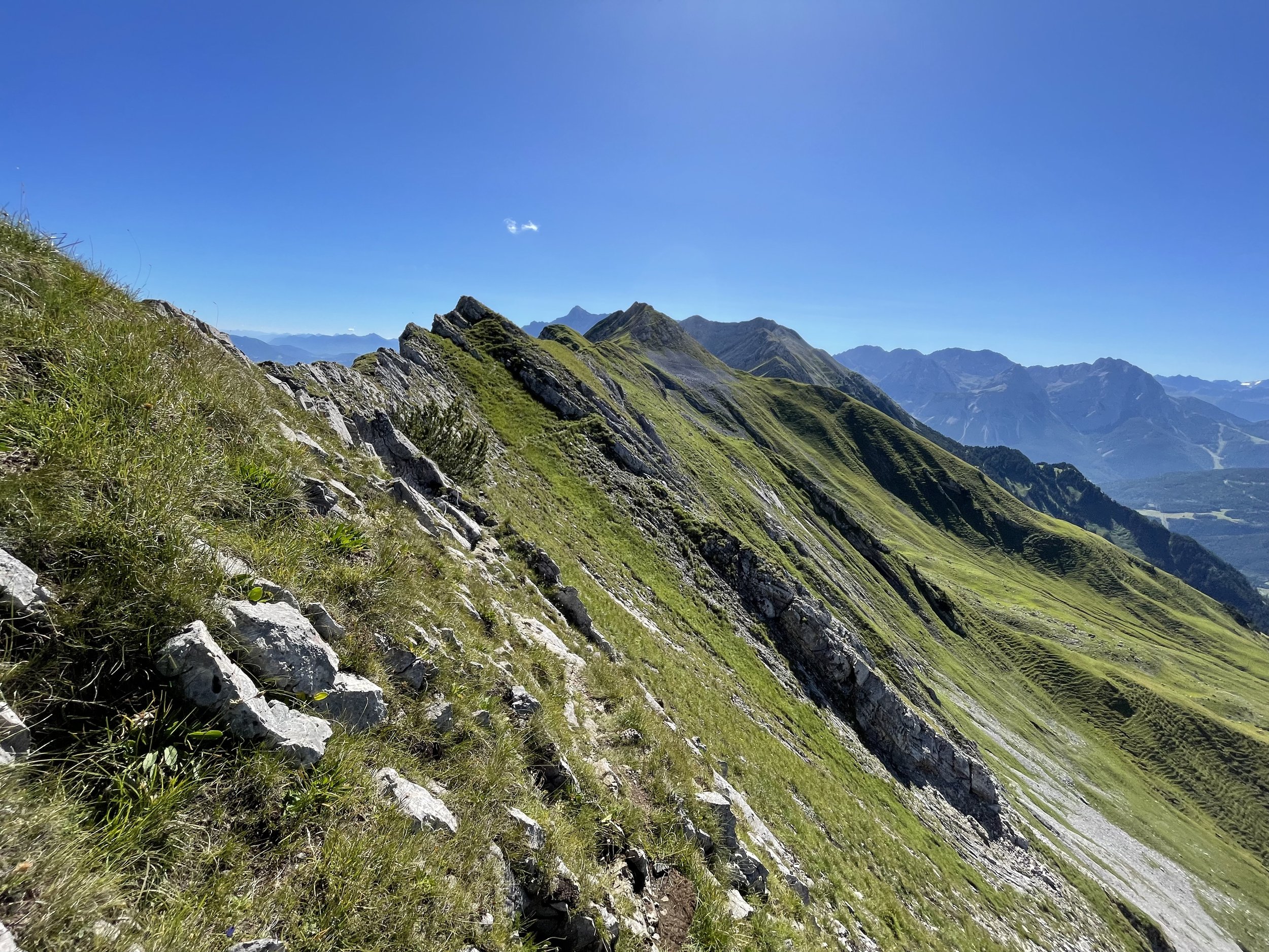
A beautiful and rarely visited logical line close to Fernpass, traversing the ridge from Lermoos to Heiterwanger See over narrow technical single trails (and the summit of Upsspitze and many others).
Starting point: BP Gas Station in Lermoos
Ending point: Camping Fischer am See
Length: 24km
Vertical: 2000m
Speed: For the most part really technical and faint single track with many technical sections. Count for moving much slower than you think you will.
Route:
Recently, I had the opportunity to spend half a day in the Fernpass area, near the German border. I wanted to explore a line I drove by many times before - and the “Ups Express” was born.
Our starting point for this adventure is the village of Lermoos, located just after the Fernpass tunnel. For the sake of this post, let’s say we start at the local gas station, which is where I was dropped off.
The first part of the run is a straightforward uphill stretch following signs to Tuftlalm. This mountain hut is the sole place to grab some food or drink along the route. Be sure to refill your water here, as it's the last available source for several hours.
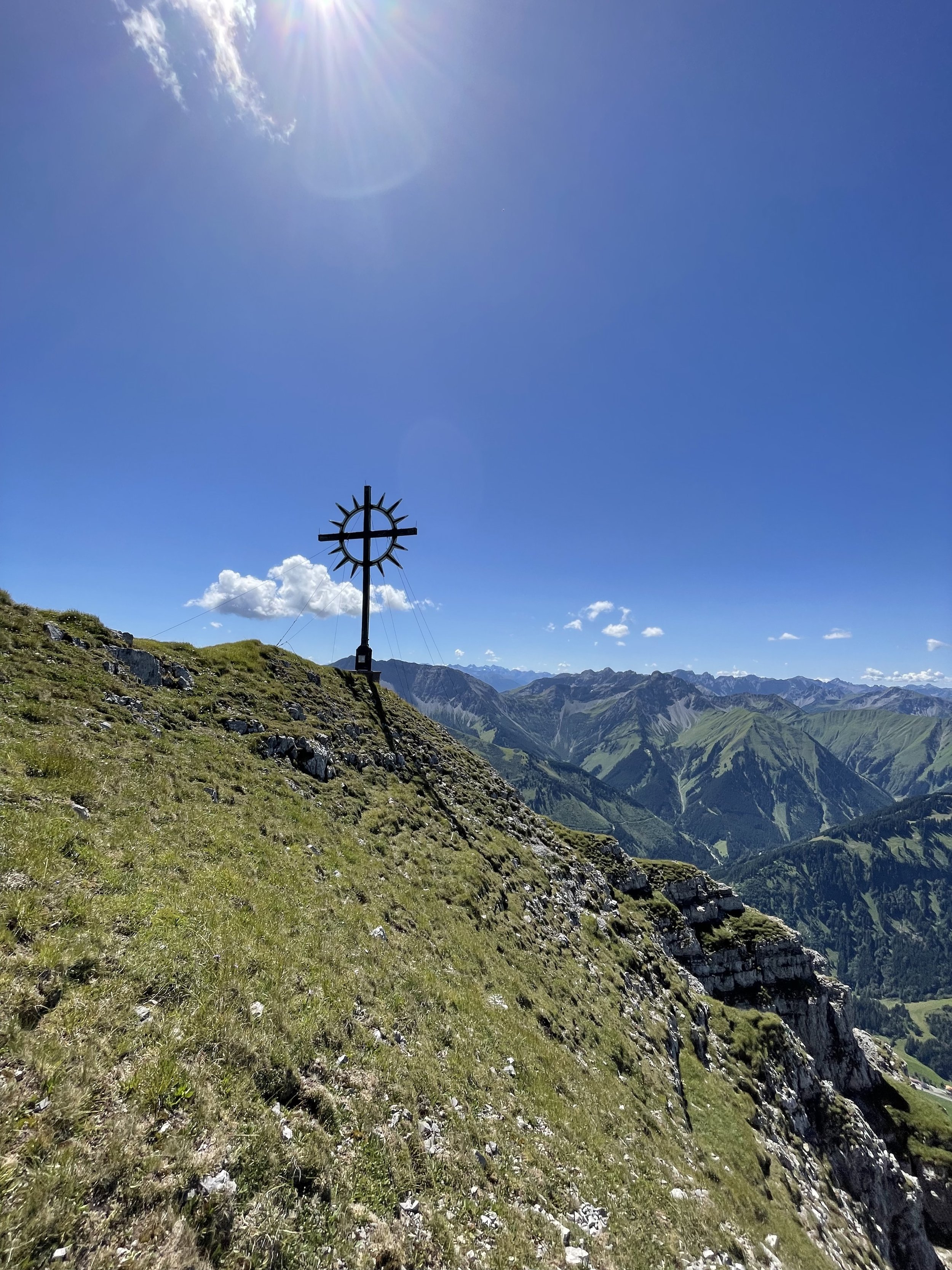
Continuing directly uphill, the goal is to reach the clearly visible main ridge. Upon reaching the ridge, we follow it northeast for a few hundred meters until arriving at the summit of Danielspitze (2340m). From here, you'll be treated to stunning views of Zugspitze and the surrounding mountains near Ehrwald.
After enjoying the summit, we turn around and follow the ridge back to Upsspitze (2332m) and then further in north-west direction. Traversing under the summit of Großes Pfuitjöchle (2196m) and across Kleines Pfuitjöchle (2133m), Hochschrutte (2247m), and eventually Pitzenegg (2174m), we find ourselves on a narrow and faint trail, rarely used by others.
From Pitzenegg, you can theoretically continue along the ridge (I found some old descriptions of the route online) but I have opted to stay on the trail as it was technical enough already. Descending through steep grassy terrain for a few hundred vertical meters, we reach the traversing trail known as Alpenrosensteig. Following this trail west, we eventually break off uphill to Kohlbergspitze (2202m), the last summit of the run.
Take a moment to enjoy the summit, as the downhill is the most difficult part of the entire route. The first 400 vertical meters or so to Grübleshütte are particularly sketchy, with very steep sections filled with loose rock. Be sure to proceed with caution.
From the hut, the trail opens up into a really nice single track that winds down the mountain to the lake below, Heiterwanger See. Once at the lake, a couple of flat kilometers lead back to the campsite and adjacent parking lot.
Pro tip: water is only available Tuftlealm and Grübleshütte so make sure to plan accordingly.
Photos by @the.running.nomad


